Zakynthos night lights from space
Night Light of Zakynthos (Ionian Islands) from space (Greece) Src. Average luminocity for 10x10km area is 46.4881% and for 50x50km: 4.4589%.
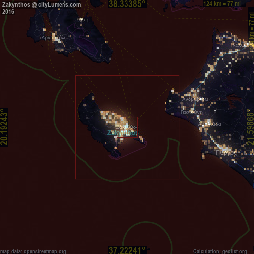
Analysis of Zakynthos night lights 2016
Square area 10x10 km:
 3.74%
3.74%90-99
8.67%80-89
6.8%70-79
9.69%60-69
11.39%50-59
6.12%40-49
5.44%30-39
8.5%20-29
6.63%10-19
19.22%0-9
13.78%Square area 50x50 km:
0.22%90-99
0.63%80-89
0.57%70-79
0.72%60-69
0.78%50-59
0.68%40-49
0.66%30-39
1.02%20-29
0.93%10-19
3.49%0-9
90.31%Clear (daylight) street map image can be seen on geolist.org.
Map coordinates:
38° 20' 1.9" North, 20° 11' 32.7" East
37° 46' 48.8" North, 20° 53' 44" East
37° 13' 20.7" North, 21° 35' 55.2" East
Some cities around Zakynthos sort by population:
• Pýrgos
49.4 km =30.7 mi,  103°
103°
• Amaliáda
40 km =24.9 mi,  87°
87°
• Mesolóngi
80.8 km =50.2 mi,  35°
35°
• Argostólion
57.1 km =35.5 mi,  321°
321°
• Gastoúni
32.1 km =19.9 mi,  76°
76°
• Paralía
84.6 km =52.6 mi,  56°
56°
• Zacháro
74.2 km =46.1 mi,  116°
116°
• Káto Achaḯa
70.6 km =43.9 mi,  54°
54°
251280 (p: 11,541)
Sources (retrieved 2019-11-25):
» Earth at Night: Flat Maps 2012, 2016