Muyuka night lights from space
Night Light of Muyuka (South-West) from space (Cameroon) Src. Average luminocity for 10x10km area is 0% and for 50x50km: 2.1162%.

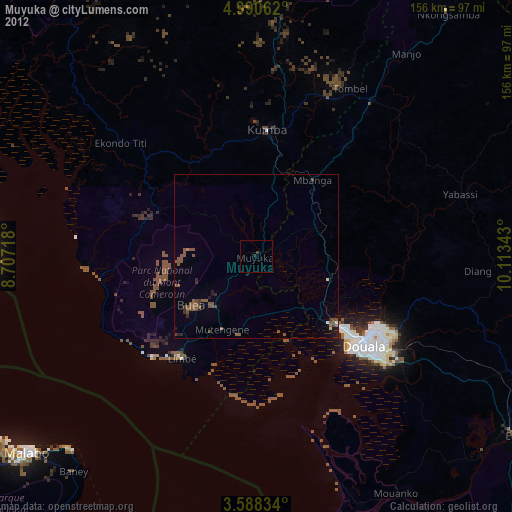
Analysis of Muyuka night lights 2016
Square area 10x10 km:
100  0%
0%
90-99 0%
80-89 0%
70-79 0%
60-69 0%
50-59 0%
40-49 0%
30-39 0%
20-29 0%
10-19 0%
0-9 100%
0%90-99
0%80-89
0%70-79
0%60-69
0%50-59
0%40-49
0%30-39
0%20-29
0%10-19
0%0-9
100%Square area 50x50 km:
100 0.01%
90-99 0.07%
80-89 0.23%
70-79 0.14%
60-69 0.49%
50-59 0.83%
40-49 0.3%
30-39 0.38%
20-29 0.61%
10-19 0.86%
0-9 96.08%
0.01%90-99
0.07%80-89
0.23%70-79
0.14%60-69
0.49%50-59
0.83%40-49
0.3%30-39
0.38%20-29
0.61%10-19
0.86%0-9
96.08%Clear (daylight) street map image can be seen on geolist.org.
Map coordinates:
4° 59' 26.2" North, 8° 42' 25.8" East
4° 17' 23.3" North, 9° 24' 37.1" East
3° 35' 18" North, 10° 6' 48.3" East
Some cities around Muyuka sort by population:
• Kumba
38.7 km =24 mi,  6°
6°
• Limbe
37.3 km =23.2 mi,  217°
217°
• Tiko
24.5 km =15.2 mi,  193°
193°
• Mutengene
24.5 km =15.2 mi,  205°
205°
• Buea
24 km =14.9 mi,  230°
230°
• Mbanga
29.3 km =18.2 mi,  36°
36°
• Bonabéri
38.7 km =24 mi,  128°
128°
• Ndom
28.6 km =17.8 mi, 36°
2225726 (p: 31,384)
Sources (retrieved 2019-11-25):
» Earth at Night: Flat Maps 2012, 2016