Coyah night lights from space
Night Light of Coyah (Kindia) from space (Guinea) Src. Average luminocity for 10x10km area is 10.1623% and for 50x50km: 5.9714%.
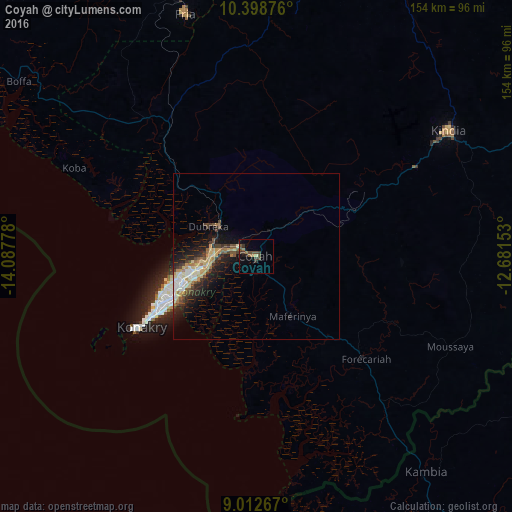

Analysis of Coyah night lights 2016
Square area 10x10 km:
 0%
0%90-99
0%80-89
0.87%70-79
0%60-69
2.81%50-59
1.08%40-49
6.28%30-39
3.46%20-29
1.95%10-19
2.16%0-9
81.39%Square area 50x50 km:
0.48%90-99
0.93%80-89
1.03%70-79
0.89%60-69
0.81%50-59
0.48%40-49
1.13%30-39
1.18%20-29
1.62%10-19
4.17%0-9
87.28%Clear (daylight) street map image can be seen on geolist.org.
Map coordinates:
10° 23' 55.5" North, 14° 5' 16" West
9° 42' 23.1" North, 13° 23' 4.7" West
9° 0' 45.6" North, 12° 40' 53.5" West
Some cities around Coyah sort by population:
• Camayenne
38.3 km =23.8 mi,  240°
240°
• Conakry
37.1 km =23.1 mi, 239°
• Kindia
68.9 km =42.8 mi,  55°
55°
• Fria
76.6 km =47.6 mi,  343°
343°
• Forécariah
44.7 km =27.8 mi,  133°
133°
• Tondon
73.5 km =45.7 mi,  2°
2°
• Dubréka
17.9 km =11.1 mi,  301°
301°
• Kimbo
79.2 km =49.2 mi,  346°
346°
2422457 (p: 77,103)
Sources (retrieved 2019-11-25):
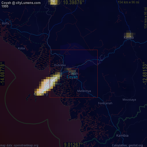
» NASA, Earths city lights 1995
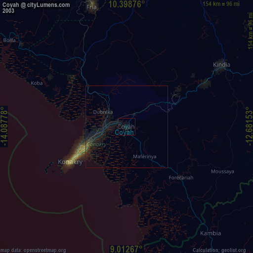
» NASA city lights 2003
» Earth at Night: Flat Maps 2012, 2016