Sanguéya night lights from space
Night Light of Sanguéya (Boke) from space (Guinea) Src. Average luminocity for 10x10km area is 0% and for 50x50km: 0.5194%.
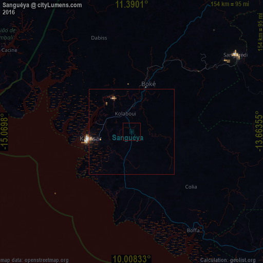
Analysis of Sanguéya night lights 2016
Square area 10x10 km:
100  0%
0%
90-99 0%
80-89 0%
70-79 0%
60-69 0%
50-59 0%
40-49 0%
30-39 0%
20-29 0%
10-19 0%
0-9 100%
0%90-99
0%80-89
0%70-79
0%60-69
0%50-59
0%40-49
0%30-39
0%20-29
0%10-19
0%0-9
100%Square area 50x50 km:
100 0%
90-99 0%
80-89 0.03%
70-79 0.13%
60-69 0.03%
50-59 0.1%
40-49 0.25%
30-39 0.04%
20-29 0.13%
10-19 0.27%
0-9 99.01%
0%90-99
0%80-89
0.03%70-79
0.13%60-69
0.03%50-59
0.1%40-49
0.25%30-39
0.04%20-29
0.13%10-19
0.27%0-9
99.01%Clear (daylight) street map image can be seen on geolist.org.
Map coordinates:
11° 23' 24.4" North, 15° 4' 11.3" West
10° 42' 0" North, 14° 22' 0" West
10° 0' 30" North, 13° 39' 48.8" West
Some cities around Sanguéya sort by population:
• Fria
93.4 km =58 mi,  113°
113°
• Boké
27.1 km =16.8 mi,  17°
17°
• Tondon
117.2 km =72.8 mi, 108°
• Dubréka
136.8 km =85 mi,  137°
137°
• Catió, GW
116.6 km =72.5 mi,  303°
303°
• Kimbo
95.3 km =59.2 mi, 110°
• Buba, GW
120.3 km =74.8 mi,  325°
325°
• Quebo, GW
93.7 km =58.2 mi,  318°
318°
2416061 (p: 6,117)
Sources (retrieved 2019-11-25):
» Earth at Night: Flat Maps 2012, 2016