Camayenne night lights from space
Night Light of Camayenne (Conakry) from space (Guinea) Src. Average luminocity for 10x10km area is 39.2619% and for 50x50km: 8.8595%.
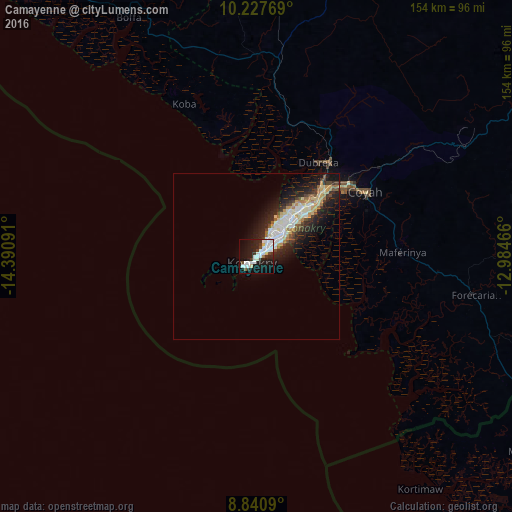
Analysis of Camayenne night lights 2016
Square area 10x10 km:
 12.77%
90-99
11.69%80-89
2.6%70-79
0.65%60-69
0%50-59
1.73%40-49
1.95%30-39
5.41%20-29
11.9%10-19
35.5%0-9
15.8%Square area 50x50 km:
1.38%90-99
2.13%80-89
1.27%70-79
0.99%60-69
0.7%50-59
0.55%40-49
0.83%30-39
1.27%20-29
3.02%10-19
6.61%0-9
81.25%Clear (daylight) street map image can be seen on geolist.org.
Map coordinates:
10° 13' 39.7" North, 14° 23' 27.3" West
9° 32' 6" North, 13° 41' 16" West
8° 50' 27.2" North, 12° 59' 4.8" West
Some cities around Camayenne sort by population:
• Conakry
1.2 km =0.7 mi,  74°
74°
• Coyah
38.3 km =23.8 mi,  60°
60°
• Fria
93.2 km =57.9 mi,  7°
7°
• Forécariah
66.8 km =41.5 mi,  100°
100°
• Kambia, SL
96 km =59.7 mi,  118°
118°
• Dubréka
33.7 km =20.9 mi,  32°
32°
• Kimbo
97.4 km =60.5 mi, 8°
• Kassiri, SL
91.4 km =56.8 mi,  136°
136°
2422488 (p: 1,871,242)
Sources (retrieved 2019-11-25):
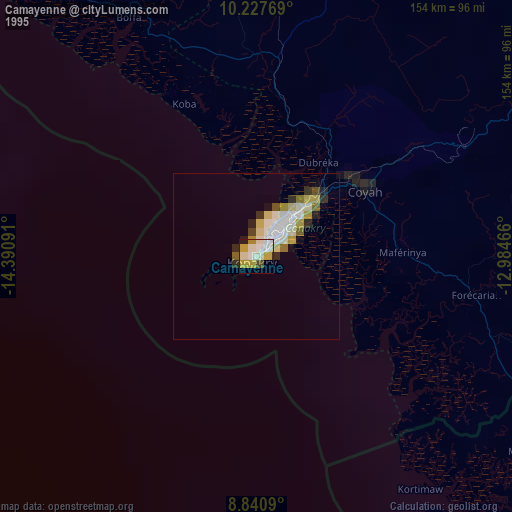
» NASA, Earths city lights 1995
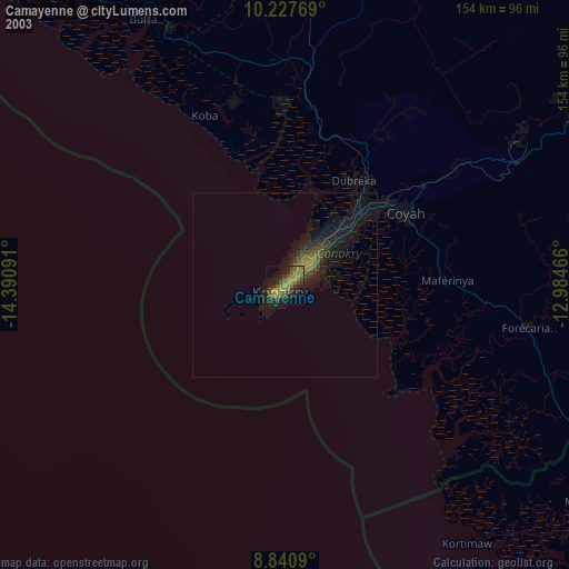
» NASA city lights 2003
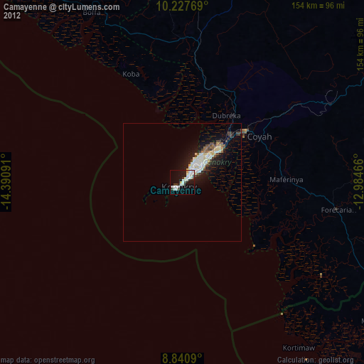
» Earth at Night: Flat Maps 2012, 2016