Kambia night lights from space
Night Light of Kambia (Northern Province) from space (Sierra Leone) Src. Average luminocity for 10x10km area is 0% and for 50x50km: 0%.
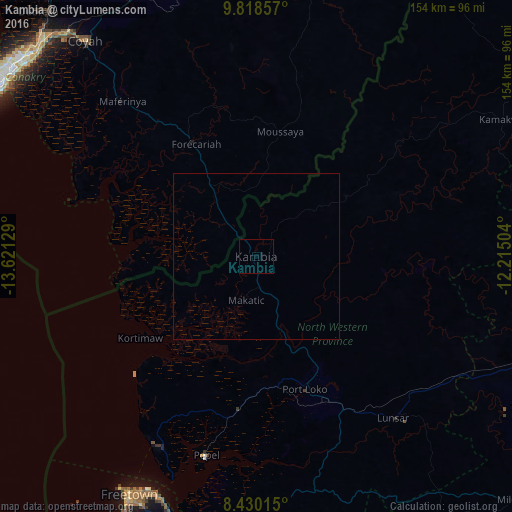
Analysis of Kambia night lights 2016
Square area 10x10 km:
 0%
0%90-99
0%80-89
0%70-79
0%60-69
0%50-59
0%40-49
0%30-39
0%20-29
0%10-19
0%0-9
100%Square area 50x50 km:
0%90-99
0%80-89
0%70-79
0%60-69
0%50-59
0%40-49
0%30-39
0%20-29
0%10-19
0%0-9
100%Clear (daylight) street map image can be seen on geolist.org.
Map coordinates:
9° 49' 6.9" North, 13° 37' 16.6" West
9° 7' 30.1" North, 12° 55' 5.4" West
8° 25' 48.5" North, 12° 12' 54.1" West
Some cities around Kambia sort by population:
• Lunsar
64.6 km =40.1 mi,  139°
139°
• Port Loko
42.4 km =26.3 mi,  160°
160°
• Rokupr
77.3 km =48 mi,  130°
130°
• Forécariah, GN
38.8 km =24.1 mi,  331°
331°
• Kukuna
41.2 km =25.6 mi,  42°
42°
• Mambolo
26.4 km =16.4 mi,  209°
209°
• Tintafor
64.3 km =40 mi, 210°
• Kassiri
30 km =18.6 mi,  226°
226°
2408088 (p: 11,520)
Sources (retrieved 2019-11-25):
» Earth at Night: Flat Maps 2012, 2016