Boké night lights from space
Night Light of Boké (Boke) from space (Guinea) Src. Average luminocity for 10x10km area is 0.4069% and for 50x50km: 0.2243%.
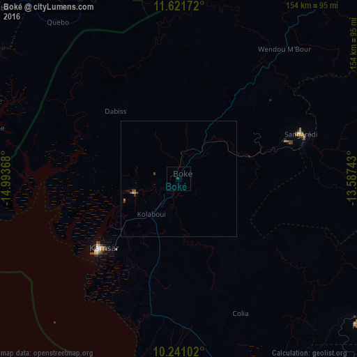
Analysis of Boké night lights 2016
Square area 10x10 km:
 0%
0%90-99
0%80-89
0%70-79
0%60-69
0%50-59
0%40-49
0.87%30-39
0%20-29
0%10-19
0%0-9
99.13%Square area 50x50 km:
0%90-99
0%80-89
0.03%70-79
0.03%60-69
0.03%50-59
0.03%40-49
0.19%30-39
0.03%20-29
0.04%10-19
0.02%0-9
99.58%Clear (daylight) street map image can be seen on geolist.org.
Map coordinates:
11° 37' 18.2" North, 14° 59' 37.2" West
10° 55' 55.8" North, 14° 17' 26" West
10° 14' 27.7" North, 13° 35' 14.7" West
Some cities around Boké sort by population:
• Fria
99.7 km =62 mi,  129°
129°
• Télimélé
137.3 km =85.3 mi,  91°
91°
• Tondon
120.5 km =74.9 mi,  121°
121°
• Catió, GW
112.2 km =69.7 mi,  290°
290°
• Kimbo
100.2 km =62.3 mi, 126°
• Buba, GW
106.1 km =65.9 mi,  313°
313°
• Quebo, GW
83.1 km =51.6 mi,  302°
302°
• Sanguéya
27.1 km =16.8 mi,  197°
197°
2422924 (p: 15,460)
Sources (retrieved 2019-11-25):
» Earth at Night: Flat Maps 2012, 2016