Catió night lights from space
Night Light of Catió (Tombali) from space (Guinea-Bissau) Src. Average luminocity for 10x10km area is 0% and for 50x50km: 0%.
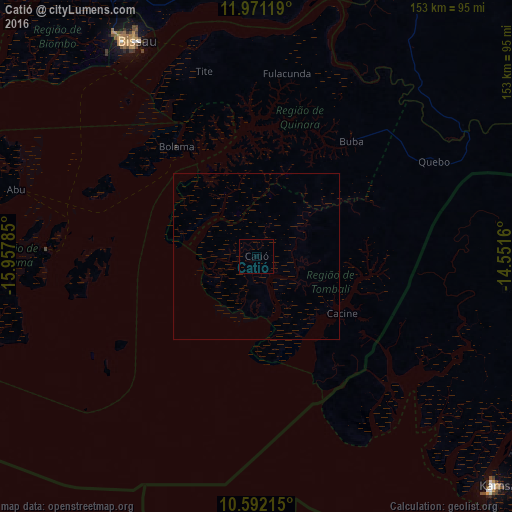
Analysis of Catió night lights 2016
Square area 10x10 km:
100  0%
0%
90-99 0%
80-89 0%
70-79 0%
60-69 0%
50-59 0%
40-49 0%
30-39 0%
20-29 0%
10-19 0%
0-9 100%
0%90-99
0%80-89
0%70-79
0%60-69
0%50-59
0%40-49
0%30-39
0%20-29
0%10-19
0%0-9
100%Square area 50x50 km:
100 0%
90-99 0%
80-89 0%
70-79 0%
60-69 0%
50-59 0%
40-49 0%
30-39 0%
20-29 0%
10-19 0%
0-9 100%
0%90-99
0%80-89
0%70-79
0%60-69
0%50-59
0%40-49
0%30-39
0%20-29
0%10-19
0%0-9
100%Clear (daylight) street map image can be seen on geolist.org.
Map coordinates:
11° 58' 16.3" North, 15° 57' 28.3" West
11° 16' 57" North, 15° 15' 17" West
10° 35' 31.7" North, 14° 33' 5.8" West
Some cities around Catió sort by population:
• Bissau
74.6 km =46.4 mi,  329°
329°
• Bissorã
106.7 km =66.3 mi,  348°
348°
• Bolama
40.7 km =25.3 mi,  323°
323°
• Bubaque
63.1 km =39.2 mi,  270°
270°
• Mansôa
88.2 km =54.8 mi,  355°
355°
• Buba
44.2 km =27.5 mi,  39°
39°
• Quebo
35.5 km =22.1 mi,  80°
80°
• Quinhámel
93.8 km =58.3 mi, 315°
2373526 (p: 9,898)
Sources (retrieved 2019-11-25):
» Earth at Night: Flat Maps 2012, 2016