Wrexham night lights from space
Night Light of Wrexham (Wales) from space (United Kingdom) Src. Average luminocity for 10x10km area is 33.0542% and for 50x50km: 8.3029%.
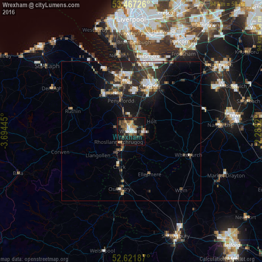
Analysis of Wrexham night lights 2016
Square area 10x10 km:
 4.23%
4.23%90-99
4.23%80-89
3.31%70-79
4.23%60-69
3.57%50-59
8.07%40-49
5.42%30-39
3.97%20-29
7.28%10-19
39.81%0-9
15.87%Square area 50x50 km:
1.21%90-99
1.29%80-89
0.62%70-79
0.73%60-69
1.09%50-59
1.01%40-49
1.23%30-39
1.68%20-29
3.29%10-19
6.96%0-9
80.9%Clear (daylight) street map image can be seen on geolist.org.
Map coordinates:
53° 28' 2.1" North, 3° 41' 40" West
53° 2' 47.9" North, 2° 59' 28.8" West
52° 37' 18.7" North, 2° 17' 17.5" West
Some cities around Wrexham sort by population:
• Buckley
14.7 km =9.1 mi,  335°
335°
• Hawarden
15.5 km =9.6 mi,  351°
351°
• Rhosllanerchrugog
6.1 km =3.8 mi,  227°
227°
• Brymbo
5.5 km =3.4 mi,  293°
293°
• Mold
16.7 km =10.4 mi,  323°
323°
• Broughton
12.9 km =8 mi,  359°
359°
• Coedpoeth
4.8 km =3 mi,  279°
279°
• Gresford
4.5 km =2.8 mi,  17°
17°
2633485 (p: 65,692)
Sources (retrieved 2019-11-25):
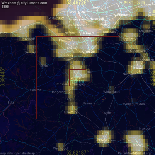
» NASA, Earths city lights 1995
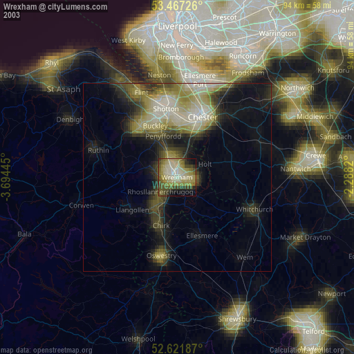
» NASA city lights 2003
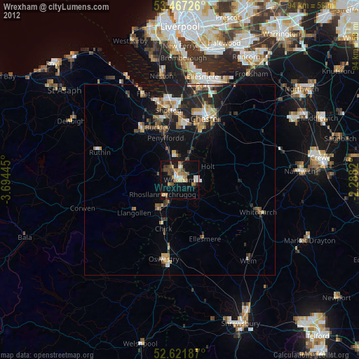
» Earth at Night: Flat Maps 2012, 2016