Woodford Green night lights from space
Night Light of Woodford Green (England) from space (United Kingdom) Src. Average luminocity for 10x10km area is 87.2647% and for 50x50km: 59.9136%.
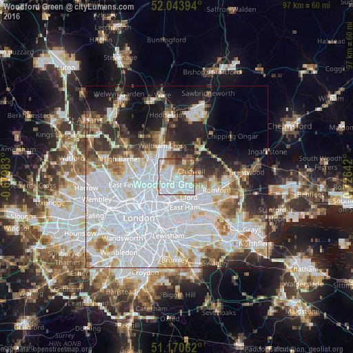
Analysis of Woodford Green night lights 2016
Square area 10x10 km:
 35.96%
90-99
29.81%80-89
8.02%70-79
5.48%60-69
8.42%50-59
6.42%40-49
4.68%30-39
1.2%20-29
0%10-19
0%0-9
0%Square area 50x50 km:
26.14%90-99
14.21%80-89
5.59%70-79
4.04%60-69
4.57%50-59
4.47%40-49
3.93%30-39
4.49%20-29
7.01%10-19
9.8%0-9
15.75%Clear (daylight) street map image can be seen on geolist.org.
Map coordinates:
52° 2' 38.2" North, 0° 40' 47.4" West
51° 36' 33.8" North, 0° 1' 23.8" East
51° 10' 14.2" North, 0° 43' 35.1" East
Some cities around Woodford Green sort by population:
• Enfield Town
8.8 km =5.5 mi,  302°
302°
• Waltham Abbey
8.8 km =5.5 mi,  347°
347°
• Harringay
9 km =5.6 mi,  250°
250°
• Grange Hill
4.3 km =2.7 mi,  86°
86°
• Buckhurst Hill
1.8 km =1.1 mi,  21°
21°
• Chigwell
3.8 km =2.4 mi,  72°
72°
• Chadwell Heath
8.7 km =5.4 mi,  119°
119°
• Hainault
5.8 km =3.6 mi, 91°
2633655 (p: 22,803)
Sources (retrieved 2019-11-25):
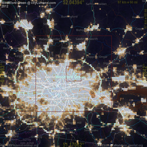
» Earth at Night: Flat Maps 2012, 2016