Whitby night lights from space
Night Light of Whitby (England) from space (United Kingdom) Src. Average luminocity for 10x10km area is 4.6172% and for 50x50km: 1.3113%.
Analysis of Whitby night lights 2016
Square area 10x10 km:
 0.84%
0.84%90-99
0.6%80-89
0.72%70-79
0.72%60-69
0%50-59
0.72%40-49
1.56%30-39
0.12%20-29
0%10-19
0.48%0-9
94.26%Square area 50x50 km:
0.13%90-99
0.21%80-89
0.16%70-79
0.12%60-69
0.13%50-59
0.22%40-49
0.27%30-39
0.14%20-29
0.12%10-19
0.76%0-9
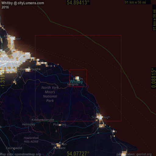
97.72%Clear (daylight) street map image can be seen on geolist.org.
Map coordinates:
54° 53' 38.9" North, 1° 19' 5.2" West
54° 29' 15.9" North, 0° 36' 53.9" West
54° 4' 38.2" North, 0° 5' 17.3" East
Some cities around Whitby sort by population:
• Scarborough
26.9 km =16.7 mi,  149°
149°
• Guisborough
28.9 km =18 mi,  280°
280°
• Ingleby Greenhow
32.1 km =19.9 mi,  262°
262°
• Marske-by-the-Sea
28.5 km =17.7 mi,  293°
293°
• Pickering
28.2 km =17.5 mi,  200°
200°
• Skelton
25.4 km =15.8 mi, 288°
• Saltburn-by-the-Sea
25.4 km =15.8 mi, 294°
• Brotton
22.7 km =14.1 mi, 292°
2634135 (p: 13,213)
Sources (retrieved 2019-11-25):
» Earth at Night: Flat Maps 2012, 2016