Scarborough night lights from space
Night Light of Scarborough (England) from space (United Kingdom) Src. Average luminocity for 10x10km area is 18.1403% and for 50x50km: 1.6045%.
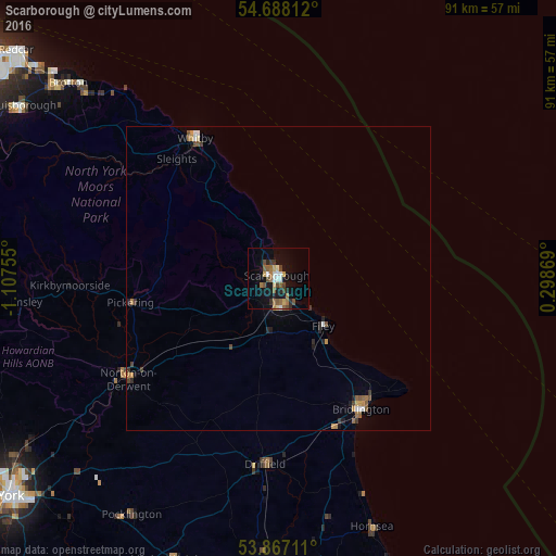
Analysis of Scarborough night lights 2016
Square area 10x10 km:
 1.67%
1.67%90-99
2.7%80-89
1.8%70-79
1.03%60-69
3.86%50-59
3.99%40-49
2.7%30-39
2.45%20-29
2.83%10-19
14.54%0-9
62.42%Square area 50x50 km:
0.13%90-99
0.19%80-89
0.14%70-79
0.18%60-69
0.29%50-59
0.29%40-49
0.33%30-39
0.25%20-29
0.31%10-19
0.73%0-9
97.14%Clear (daylight) street map image can be seen on geolist.org.
Map coordinates:
54° 41' 17.2" North, 1° 6' 27.2" West
54° 16' 46.8" North, 0° 24' 15.9" West
53° 52' 1.6" North, 0° 17' 55.3" East
Some cities around Scarborough sort by population:
• Bridlington
25.9 km =16.1 mi,  147°
147°
• Whitby
26.9 km =16.7 mi,  329°
329°
• Driffield
30.5 km =19 mi,  184°
184°
• Watton
38.6 km =24 mi, 184°
• Norton
29.6 km =18.4 mi,  236°
236°
• Pickering
23.8 km =14.8 mi,  262°
262°
• Filey
10.8 km =6.7 mi,  135°
135°
• Malton
30.2 km =18.8 mi, 238°
2638419 (p: 61,749)
Sources (retrieved 2019-11-25):
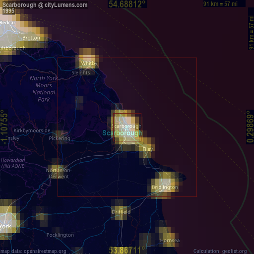
» NASA, Earths city lights 1995
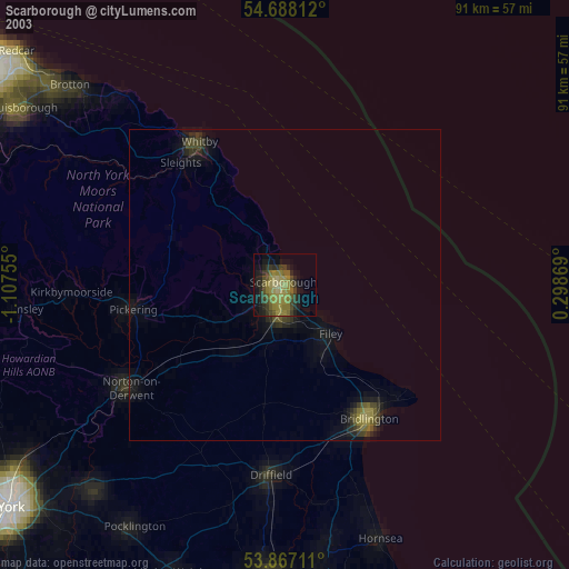
» NASA city lights 2003
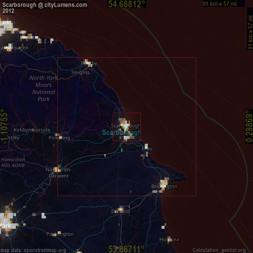
» Earth at Night: Flat Maps 2012, 2016