Pickering night lights from space
Night Light of Pickering (England) from space (United Kingdom) Src. Average luminocity for 10x10km area is 0.8058% and for 50x50km: 1.0292%.
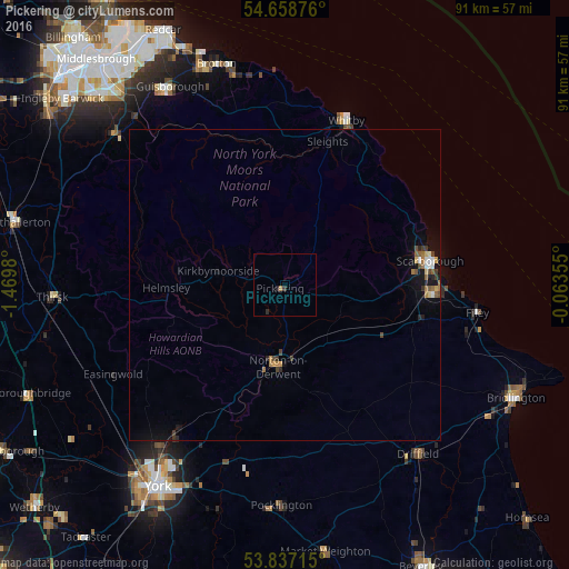
Analysis of Pickering night lights 2016
Square area 10x10 km:
 0%
0%90-99
0%80-89
0%70-79
0%60-69
0.5%50-59
0%40-49
0%30-39
0.5%20-29
1%10-19
0%0-9
97.99%Square area 50x50 km:
0.07%90-99
0.12%80-89
0.08%70-79
0.08%60-69
0.26%50-59
0.17%40-49
0.16%30-39
0.2%20-29
0.19%10-19
0.68%0-9
98%Clear (daylight) street map image can be seen on geolist.org.
Map coordinates:
54° 39' 31.5" North, 1° 28' 11.3" West
54° 15' 0" North, 0° 46' 0" West
53° 50' 13.7" North, 0° 3' 48.8" West
Some cities around Pickering sort by population:
• Scarborough
23.8 km =14.8 mi,  82°
82°
• Ingleby Greenhow
31.3 km =19.4 mi,  315°
315°
• Whitby
28.2 km =17.5 mi,  20°
20°
• Haxby
32.9 km =20.4 mi,  217°
217°
• Norton
13.1 km =8.1 mi,  185°
185°
• Filey
31.4 km =19.5 mi,  98°
98°
• Strensall
29.2 km =18.1 mi, 216°
• Malton
12.8 km =8 mi, 189°
2640312 (p: 6,936)
Sources (retrieved 2019-11-25):
» Earth at Night: Flat Maps 2012, 2016