Watford night lights from space
Night Light of Watford (England) from space (United Kingdom) Src. Average luminocity for 10x10km area is 61.5973% and for 50x50km: 49.719%.
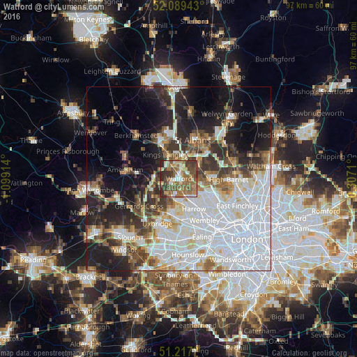
Analysis of Watford night lights 2016
Square area 10x10 km:
 7.76%
7.76%90-99
8.98%80-89
7.35%70-79
8.03%60-69
16.19%50-59
21.63%40-49
12.24%30-39
10.75%20-29
7.07%10-19
0%0-9
0%Square area 50x50 km:
18.34%90-99
11.11%80-89
4.29%70-79
3.25%60-69
4.52%50-59
5.01%40-49
5.13%30-39
5.89%20-29
8.77%10-19
12.42%0-9
21.27%Clear (daylight) street map image can be seen on geolist.org.
Map coordinates:
52° 5' 21.9" North, 1° 5' 56.9" West
51° 39' 19.1" North, 0° 23' 45.7" West
51° 13' 1.2" North, 0° 18' 25.6" East
Some cities around Watford sort by population:
• Borehamwood
8.2 km =5.1 mi,  90°
90°
• Pinner
6.9 km =4.3 mi,  172°
172°
• Bushey
2.8 km =1.7 mi,  118°
118°
• Rickmansworth
5.9 km =3.7 mi,  252°
252°
• Chorleywood
8.1 km =5 mi,  269°
269°
• Abbots Langley
5.8 km =3.6 mi,  345°
345°
• Radlett
6.3 km =3.9 mi,  57°
57°
• Kings Langley
7.5 km =4.7 mi,  330°
330°
2634677 (p: 125,707)
Sources (retrieved 2019-11-25):
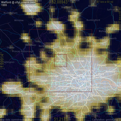
» NASA, Earths city lights 1995
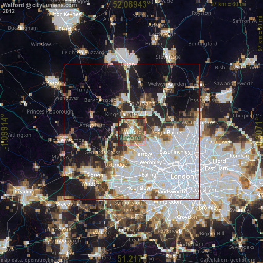
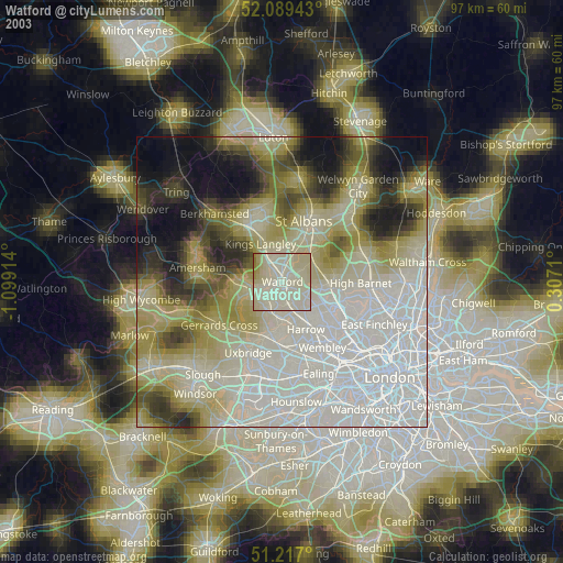
» NASA city lights 2003
» Earth at Night: Flat Maps 2012, 2016