Borehamwood night lights from space
Night Light of Borehamwood (England) from space (United Kingdom) Src. Average luminocity for 10x10km area is 64.1471% and for 50x50km: 56.6624%.
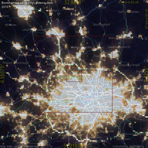
Analysis of Borehamwood night lights 2016
Square area 10x10 km:
 11.06%
90-99
10.78%80-89
7.14%70-79
8.26%60-69
17.79%50-59
14.29%40-49
9.52%30-39
19.75%20-29
1.4%10-19
0%0-9
0%Square area 50x50 km:
23.76%90-99
12.94%80-89
4.68%70-79
3.2%60-69
4.51%50-59
5.08%40-49
5.01%30-39
6%20-29
7.76%10-19
10.86%0-9
16.2%Clear (daylight) street map image can be seen on geolist.org.
Map coordinates:
52° 5' 19.7" North, 0° 58' 50.7" West
51° 39' 16.8" North, 0° 16' 39.4" West
51° 12' 58.9" North, 0° 25' 31.8" East
Some cities around Borehamwood sort by population:
• Watford
8.2 km =5.1 mi,  270°
270°
• Barnet
5.4 km =3.4 mi,  95°
95°
• Potters Bar
8.1 km =5 mi,  57°
57°
• Hadley Wood
7.6 km =4.7 mi,  79°
79°
• Bushey
5.9 km =3.7 mi,  257°
257°
• Edgware
4.7 km =2.9 mi,  178°
178°
• Radlett
4.5 km =2.8 mi,  320°
320°
• High Barnet
4.8 km =3 mi,  87°
87°
2655186 (p: 32,176)
Sources (retrieved 2019-11-25):
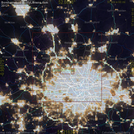
» Earth at Night: Flat Maps 2012, 2016