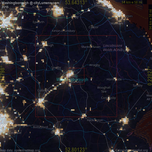
Washingborough night lights from space
Night Light of Washingborough (England) from space (United Kingdom) Src. Average luminocity for 10x10km area is 17.7879% and for 50x50km: 4.6491%.
Analysis of Washingborough night lights 2016
Square area 10x10 km:
 3.41%
3.41%90-99
3.41%80-89
0.51%70-79
0.76%60-69
2.9%50-59
2.65%40-49
2.9%30-39
3.66%20-29
2.78%10-19
17.93%0-9
59.09%Square area 50x50 km:
0.51%90-99
0.66%80-89
0.39%70-79
0.63%60-69
0.55%50-59
0.73%40-49
0.78%30-39
0.53%20-29
0.9%10-19
3.75%0-9
90.58%Clear (daylight) street map image can be seen on geolist.org.
Map coordinates:
53° 38' 35.3" North, 1° 10' 40.7" West
53° 13' 27.3" North, 0° 28' 29.5" West
52° 48' 4.4" North, 0° 13' 41.8" East
Some cities around Washingborough sort by population:
• Lincoln
4.2 km =2.6 mi,  273°
273°
• Gainsborough
26.2 km =16.3 mi,  312°
312°
• Sleaford
25.5 km =15.8 mi,  170°
170°
• Horncastle
23.9 km =14.9 mi,  94°
94°
• Heighington
1.7 km =1.1 mi,  141°
141°
• Bracebridge Heath
5 km =3.1 mi,  231°
231°
• Ruskington
20.7 km =12.9 mi,  163°
163°
• Dunholme
8.5 km =5.3 mi,  4°
4°
2634717 (p: 6,463)
Sources (retrieved 2019-11-25):
» Earth at Night: Flat Maps 2012, 2016