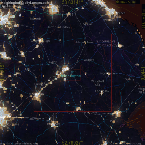
Heighington night lights from space
Night Light of Heighington (England) from space (United Kingdom) Src. Average luminocity for 10x10km area is 12.0707% and for 50x50km: 4.5692%.
Analysis of Heighington night lights 2016
Square area 10x10 km:
 2.27%
2.27%90-99
2.27%80-89
0.51%70-79
0.38%60-69
2.15%50-59
1.01%40-49
1.52%30-39
2.4%20-29
1.77%10-19
13.89%0-9
71.84%Square area 50x50 km:
0.5%90-99
0.66%80-89
0.39%70-79
0.66%60-69
0.52%50-59
0.7%40-49
0.77%30-39
0.5%20-29
0.87%10-19
3.55%0-9
90.87%Clear (daylight) street map image can be seen on geolist.org.
Map coordinates:
53° 37' 53.1" North, 1° 9' 43.7" West
53° 12' 44.7" North, 0° 27' 32.5" West
52° 47' 21.4" North, 0° 14' 38.8" East
Some cities around Heighington sort by population:
• Lincoln
5.5 km =3.4 mi,  286°
286°
• Gainsborough
27.9 km =17.3 mi,  312°
312°
• Sleaford
24 km =14.9 mi,  172°
172°
• Horncastle
22.8 km =14.2 mi,  91°
91°
• Washingborough
1.7 km =1.1 mi,  321°
321°
• Bracebridge Heath
5.3 km =3.3 mi,  250°
250°
• Ruskington
19.2 km =11.9 mi, 165°
• Dunholme
9.8 km =6.1 mi,  357°
357°
2647187 (p: 6,414)
Sources (retrieved 2019-11-25):
» Earth at Night: Flat Maps 2012, 2016