Ruskington night lights from space
Night Light of Ruskington (England) from space (United Kingdom) Src. Average luminocity for 10x10km area is 4.5542% and for 50x50km: 4.5018%.
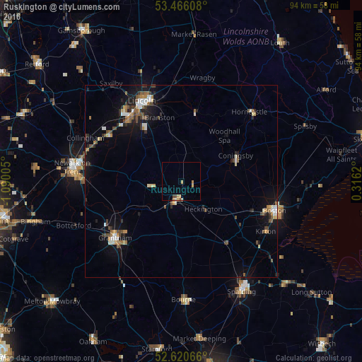
Analysis of Ruskington night lights 2016
Square area 10x10 km:
 0%
0%90-99
0.53%80-89
1.19%70-79
1.72%60-69
0.26%50-59
0.26%40-49
1.06%30-39
0%20-29
0%10-19
0%0-9
94.97%Square area 50x50 km:
0.42%90-99
0.67%80-89
0.37%70-79
0.57%60-69
0.53%50-59
0.66%40-49
0.84%30-39
0.55%20-29
0.89%10-19
3.4%0-9
91.09%Clear (daylight) street map image can be seen on geolist.org.
Map coordinates:
53° 27' 57.9" North, 1° 5' 24.2" West
53° 2' 43.6" North, 0° 23' 12.9" West
52° 37' 14.4" North, 0° 18' 58.3" East
Some cities around Ruskington sort by population:
• Lincoln
22.5 km =14 mi,  333°
333°
• Grantham
22.7 km =14.1 mi,  228°
228°
• Boston
25.3 km =15.7 mi,  107°
107°
• Sleaford
5.5 km =3.4 mi,  195°
195°
• Washingborough
20.7 km =12.9 mi,  343°
343°
• Heighington
19.2 km =11.9 mi,  345°
345°
• Great Gonerby
22.4 km =13.9 mi,  236°
236°
• Bracebridge Heath
19.5 km =12.1 mi, 329°
2638938 (p: 5,637)
Sources (retrieved 2019-11-25):
» Earth at Night: Flat Maps 2012, 2016