Swanage night lights from space
Night Light of Swanage (England) from space (United Kingdom) Src. Average luminocity for 10x10km area is 1.6671% and for 50x50km: 5.8454%.
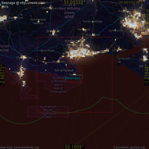
Analysis of Swanage night lights 2016
Square area 10x10 km:
 0%
0%90-99
0.13%80-89
0.4%70-79
0%60-69
0.13%50-59
0.94%40-49
0%30-39
0%20-29
0.94%10-19
0.27%0-9
97.19%Square area 50x50 km:
0.56%90-99
1.11%80-89
0.62%70-79
0.78%60-69
0.86%50-59
0.81%40-49
0.8%30-39
0.93%20-29
2.13%10-19
3.79%0-9
87.64%Clear (daylight) street map image can be seen on geolist.org.
Map coordinates:
51° 3' 12" North, 2° 39' 56.6" West
50° 36' 33.2" North, 1° 57' 45.4" West
50° 9' 39.2" North, 1° 15' 34.1" West
Some cities around Swanage sort by population:
• Bournemouth
13.7 km =8.5 mi,  25°
25°
• Poole
11.8 km =7.3 mi,  352°
352°
• Christchurch
19 km =11.8 mi,  42°
42°
• Wimborne Minster
19.4 km =12.1 mi,  355°
355°
• Canford Heath
15.8 km =9.8 mi, 358°
• Broadstone
16.6 km =10.3 mi, 352°
• Parkstone
13.5 km =8.4 mi,  5°
5°
• Wareham
13.6 km =8.5 mi,  309°
309°
2636445 (p: 10,454)
Sources (retrieved 2019-11-25):
» Earth at Night: Flat Maps 2012, 2016