Truro night lights from space
Night Light of Truro (England) from space (United Kingdom) Src. Average luminocity for 10x10km area is 8.8356% and for 50x50km: 3.0017%.
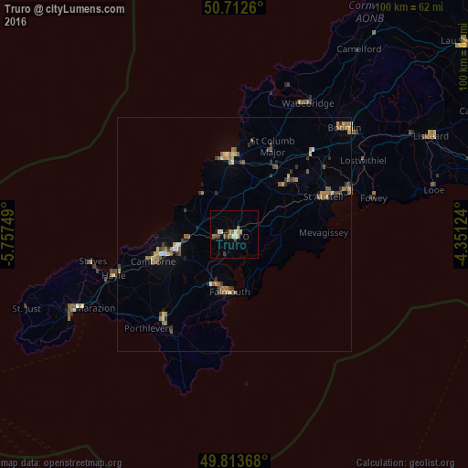
Analysis of Truro night lights 2016
Square area 10x10 km:
 0.4%
0.4%90-99
1.74%80-89
1.07%70-79
1.6%60-69
0.53%50-59
1.47%40-49
2.14%30-39
1.2%20-29
0.53%10-19
0.53%0-9
88.77%Square area 50x50 km:
0.07%90-99
0.33%80-89
0.32%70-79
0.41%60-69
0.77%50-59
0.61%40-49
0.5%30-39
0.53%20-29
0.28%10-19
0.45%0-9
95.74%Clear (daylight) street map image can be seen on geolist.org.
Map coordinates:
50° 42' 45.4" North, 5° 45' 27" West
50° 15' 54.9" North, 5° 3' 15.7" West
49° 48' 49.2" North, 4° 21' 4.5" West
Some cities around Truro sort by population:
• Redruth
12.6 km =7.8 mi,  253°
253°
• Falmouth
12.4 km =7.7 mi,  185°
185°
• St Austell
21.7 km =13.5 mi,  66°
66°
• Camborne
18.2 km =11.3 mi, 251°
• Newquay
16.8 km =10.4 mi,  355°
355°
• Helston
23.7 km =14.7 mi,  220°
220°
• Par
26.7 km =16.6 mi, 69°
• Penryn
11.4 km =7.1 mi,  198°
198°
2635412 (p: 23,041)
Sources (retrieved 2019-11-25):
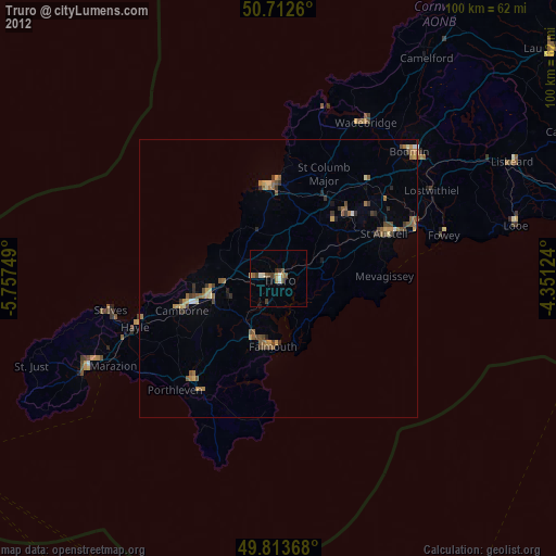
» Earth at Night: Flat Maps 2012, 2016