Camborne night lights from space
Night Light of Camborne (England) from space (United Kingdom) Src. Average luminocity for 10x10km area is 13.2233% and for 50x50km: 2.4405%.
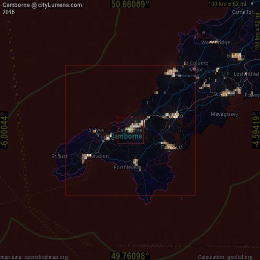
Analysis of Camborne night lights 2016
Square area 10x10 km:
 1.34%
1.34%90-99
1.34%80-89
1.6%70-79
2.94%60-69
2.41%50-59
2.27%40-49
0.94%30-39
0.8%20-29
1.07%10-19
5.75%0-9
79.55%Square area 50x50 km:
0.1%90-99
0.31%80-89
0.29%70-79
0.3%60-69
0.5%50-59
0.51%40-49
0.39%30-39
0.42%20-29
0.2%10-19
0.4%0-9
96.57%Clear (daylight) street map image can be seen on geolist.org.
Map coordinates:
50° 39' 39.2" North, 6° 0' 1.6" West
50° 12' 47" North, 5° 17' 50.3" West
49° 45' 39.5" North, 4° 35' 39.1" West
Some cities around Camborne sort by population:
• Redruth
5.7 km =3.5 mi,  66°
66°
• Falmouth
17.4 km =10.8 mi,  112°
112°
• Truro
18.2 km =11.3 mi, 71°
• Penzance
20.1 km =12.5 mi,  238°
238°
• Helston
12.4 km =7.7 mi,  171°
171°
• St Ives
13.5 km =8.4 mi,  267°
267°
• Hayle
9.4 km =5.8 mi,  249°
249°
• Penryn
14.6 km =9.1 mi, 109°
2653945 (p: 22,500)
Sources (retrieved 2019-11-25):
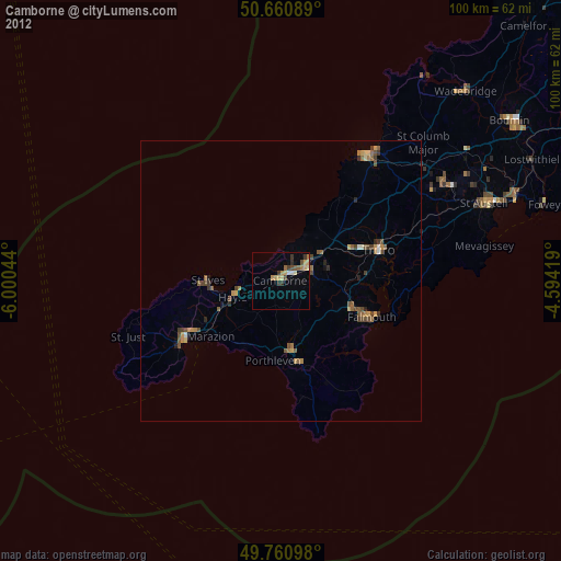
» Earth at Night: Flat Maps 2012, 2016