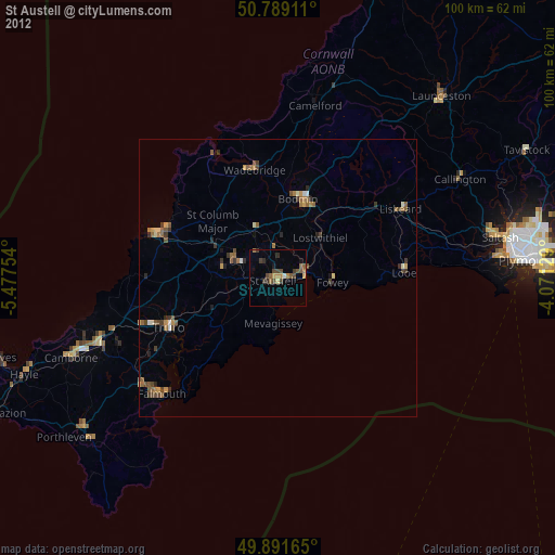
St Austell night lights from space
Night Light of St Austell (England) from space (United Kingdom) Src. Average luminocity for 10x10km area is 8.8838% and for 50x50km: 2.4546%.
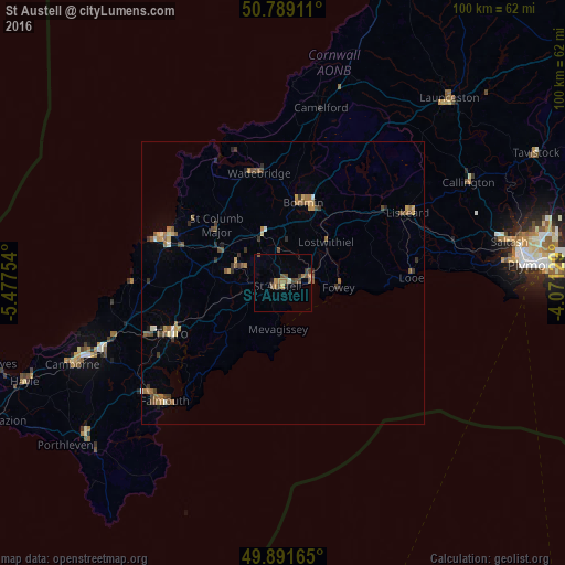
Analysis of St Austell night lights 2016
Square area 10x10 km:
 0%
0%90-99
0.56%80-89
0.28%70-79
0.98%60-69
3.22%50-59
2.24%40-49
3.5%30-39
1.26%20-29
0.14%10-19
1.12%0-9
86.69%Square area 50x50 km:
0.03%90-99
0.24%80-89
0.24%70-79
0.33%60-69
0.62%50-59
0.58%40-49
0.56%30-39
0.5%20-29
0.29%10-19
0.12%0-9
96.5%Clear (daylight) street map image can be seen on geolist.org.
Map coordinates:
50° 47' 20.8" North, 5° 28' 39.1" West
50° 20' 33" North, 4° 46' 27.9" West
49° 53' 29.9" North, 4° 4' 16.6" West
Some cities around St Austell sort by population:
• Falmouth
29.7 km =18.5 mi,  225°
225°
• Truro
21.7 km =13.5 mi,  246°
246°
• Newquay
22.7 km =14.1 mi,  290°
290°
• Bodmin
14.8 km =9.2 mi,  13°
13°
• Par
5.2 km =3.2 mi,  79°
79°
• Liskeard
25.2 km =15.7 mi,  60°
60°
• Wadebridge
19.9 km =12.4 mi,  347°
347°
• Looe
22.8 km =14.2 mi,  85°
85°
2638853 (p: 25,447)
Sources (retrieved 2019-11-25):
» Earth at Night: Flat Maps 2012, 2016