Par night lights from space
Night Light of Par (England) from space (United Kingdom) Src. Average luminocity for 10x10km area is 6.7633% and for 50x50km: 1.6384%.
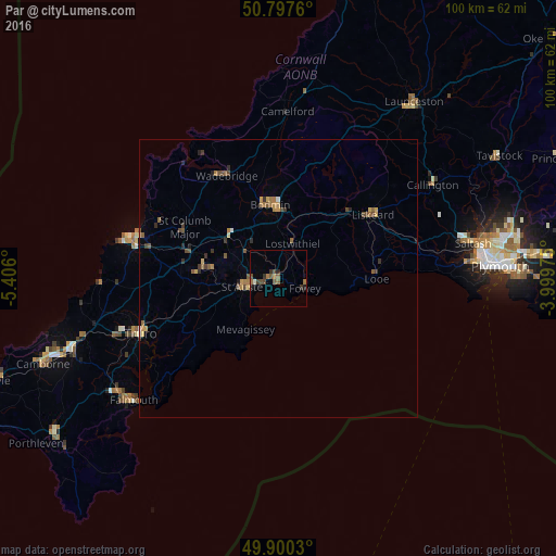
Analysis of Par night lights 2016
Square area 10x10 km:
 0%
0%90-99
0.56%80-89
0%70-79
0.14%60-69
2.1%50-59
2.24%40-49
2.66%30-39
1.82%20-29
0.84%10-19
0.98%0-9
88.66%Square area 50x50 km:
0.02%90-99
0.09%80-89
0.15%70-79
0.25%60-69
0.4%50-59
0.43%40-49
0.38%30-39
0.36%20-29
0.27%10-19
0.09%0-9
97.55%Clear (daylight) street map image can be seen on geolist.org.
Map coordinates:
50° 47' 51.4" North, 5° 24' 21.6" West
50° 21' 3.9" North, 4° 42' 10.4" West
49° 54' 1.1" North, 3° 59' 59.1" West
Some cities around Par sort by population:
• St Austell
5.2 km =3.2 mi,  259°
259°
• Truro
26.7 km =16.6 mi,  249°
249°
• Newquay
27.2 km =16.9 mi,  285°
285°
• Bodmin
13.5 km =8.4 mi,  353°
353°
• Liskeard
20.4 km =12.7 mi,  55°
55°
• Wadebridge
20.8 km =12.9 mi,  332°
332°
• Callington
32.3 km =20.1 mi, 58°
• Looe
17.7 km =11 mi,  87°
87°
2640623 (p: 9,462)
Sources (retrieved 2019-11-25):
» Earth at Night: Flat Maps 2012, 2016