Redruth night lights from space
Night Light of Redruth (England) from space (United Kingdom) Src. Average luminocity for 10x10km area is 14.5575% and for 50x50km: 2.6417%.
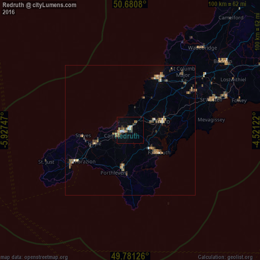
Analysis of Redruth night lights 2016
Square area 10x10 km:
 1.34%
1.34%90-99
1.87%80-89
1.6%70-79
2.54%60-69
2.27%50-59
2.81%40-49
1.87%30-39
0.94%20-29
1.2%10-19
7.09%0-9
76.47%Square area 50x50 km:
0.1%90-99
0.31%80-89
0.32%70-79
0.32%60-69
0.51%50-59
0.61%40-49
0.42%30-39
0.5%20-29
0.28%10-19
0.42%0-9
96.2%Clear (daylight) street map image can be seen on geolist.org.
Map coordinates:
50° 40' 50.9" North, 5° 55' 38.9" West
50° 13' 59.3" North, 5° 13' 27.6" West
49° 46' 52.5" North, 4° 31' 16.4" West
Some cities around Redruth sort by population:
• Falmouth
14 km =8.7 mi,  128°
128°
• Truro
12.6 km =7.8 mi,  73°
73°
• Camborne
5.7 km =3.5 mi,  246°
246°
• Newquay
22.9 km =14.2 mi,  27°
27°
• Helston
14.8 km =9.2 mi,  192°
192°
• St Ives
18.9 km =11.7 mi,  261°
261°
• Hayle
15.1 km =9.4 mi, 248°
• Penryn
11.2 km =7 mi, 130°
2639524 (p: 42,690)
Sources (retrieved 2019-11-25):
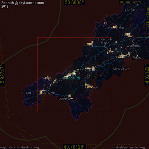
» Earth at Night: Flat Maps 2012, 2016