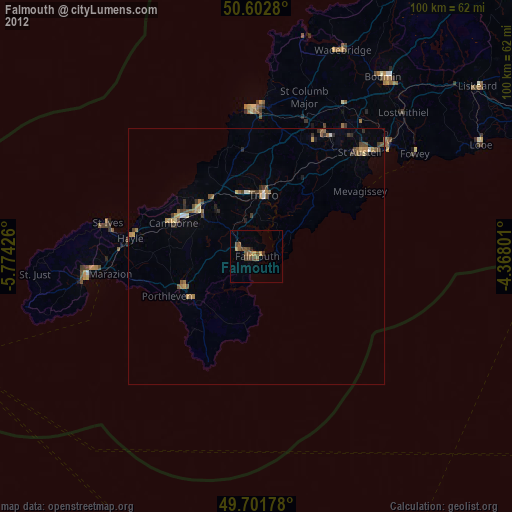
Falmouth night lights from space
Night Light of Falmouth (England) from space (United Kingdom) Src. Average luminocity for 10x10km area is 7.5842% and for 50x50km: 2.1533%.
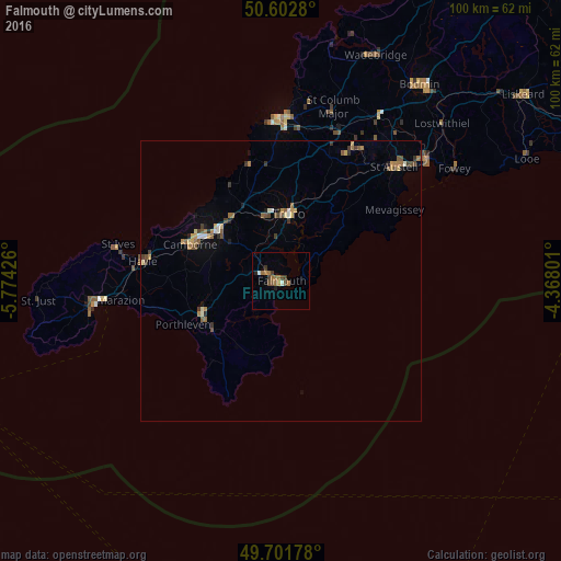
Analysis of Falmouth night lights 2016
Square area 10x10 km:
 0%
0%90-99
1.07%80-89
0%70-79
0.53%60-69
4.14%50-59
0.53%40-49
2.14%30-39
1.74%20-29
0.67%10-19
0.4%0-9
88.77%Square area 50x50 km:
0.07%90-99
0.24%80-89
0.21%70-79
0.28%60-69
0.56%50-59
0.34%40-49
0.41%30-39
0.4%20-29
0.19%10-19
0.44%0-9
96.86%Clear (daylight) street map image can be seen on geolist.org.
Map coordinates:
50° 36' 10.1" North, 5° 46' 27.3" West
50° 9' 15.9" North, 5° 4' 16.1" West
49° 42' 6.4" North, 4° 22' 4.8" West
Some cities around Falmouth sort by population:
• Redruth
14 km =8.7 mi,  308°
308°
• St Austell
29.7 km =18.5 mi,  45°
45°
• Truro
12.4 km =7.7 mi,  5°
5°
• Camborne
17.4 km =10.8 mi,  292°
292°
• Newquay
29 km =18 mi,  359°
359°
• Helston
15.3 km =9.5 mi,  248°
248°
• Hayle
25.2 km =15.7 mi,  277°
277°
• Penryn
2.8 km =1.7 mi,  302°
302°
2649715 (p: 31,988)
Sources (retrieved 2019-11-25):
» Earth at Night: Flat Maps 2012, 2016