Torpoint night lights from space
Night Light of Torpoint (England) from space (United Kingdom) Src. Average luminocity for 10x10km area is 40.4972% and for 50x50km: 4.3399%.
Analysis of Torpoint night lights 2016
Square area 10x10 km:
 8.82%
8.82%90-99
10.22%80-89
6.3%70-79
6.3%60-69
4.62%50-59
1.4%40-49
2.38%30-39
2.1%20-29
11.06%10-19
18.77%0-9
28.01%Square area 50x50 km:
0.56%90-99
0.91%80-89
0.57%70-79
0.53%60-69
0.58%50-59
0.58%40-49
0.41%30-39
0.37%20-29
1.26%10-19
2.91%0-9
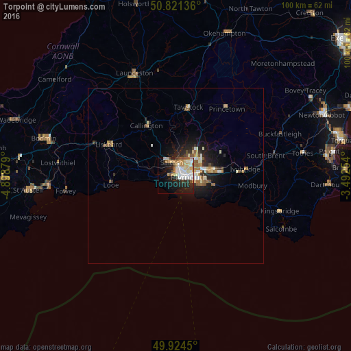
91.32%Clear (daylight) street map image can be seen on geolist.org.
Map coordinates:
50° 49' 16.9" North, 4° 53' 55.6" West
50° 22' 30.2" North, 4° 11' 44.4" West
49° 55' 28.2" North, 3° 29' 33.1" West
Some cities around Torpoint sort by population:
• Plymouth
3.8 km =2.4 mi,  95°
95°
• Plymstock
7.6 km =4.7 mi, 102°
• Saltash
4.4 km =2.7 mi,  331°
331°
• Tavistock
19.7 km =12.2 mi,  10°
10°
• Ivybridge
19.7 km =12.2 mi,  85°
85°
• Plympton
9.8 km =6.1 mi,  79°
79°
• Callington
16.3 km =10.1 mi, 329°
• Looe
18.4 km =11.4 mi,  264°
264°
2635651 (p: 7,717)
Sources (retrieved 2019-11-25):
» Earth at Night: Flat Maps 2012, 2016