Looe night lights from space
Night Light of Looe (England) from space (United Kingdom) Src. Average luminocity for 10x10km area is 0.7227% and for 50x50km: 3.7989%.
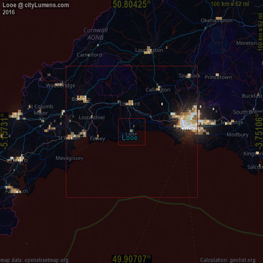
Analysis of Looe night lights 2016
Square area 10x10 km:
 0%
0%90-99
0%80-89
0%70-79
0%60-69
0%50-59
0.56%40-49
0%30-39
0.98%20-29
0.14%10-19
0%0-9
98.32%Square area 50x50 km:
0.52%90-99
0.65%80-89
0.44%70-79
0.57%60-69
0.59%50-59
0.54%40-49
0.5%30-39
0.37%20-29
0.9%10-19
1.82%0-9
93.1%Clear (daylight) street map image can be seen on geolist.org.
Map coordinates:
50° 48' 15.3" North, 5° 9' 26.3" West
50° 21' 28" North, 4° 27' 15" West
49° 54' 25.5" North, 3° 45' 3.8" West
Some cities around Looe sort by population:
• Plymouth
22.1 km =13.7 mi,  86°
86°
• St Austell
22.8 km =14.2 mi,  265°
265°
• Saltash
17.2 km =10.7 mi,  70°
70°
• Bodmin
22.9 km =14.2 mi,  303°
303°
• Par
17.7 km =11 mi, 267°
• Liskeard
10.8 km =6.7 mi,  355°
355°
• Torpoint
18.4 km =11.4 mi,  84°
84°
• Callington
18.8 km =11.7 mi,  32°
32°
3345093 (p: 5,112)
Sources (retrieved 2019-11-25):
» Earth at Night: Flat Maps 2012, 2016