Ivybridge night lights from space
Night Light of Ivybridge (England) from space (United Kingdom) Src. Average luminocity for 10x10km area is 2.8011% and for 50x50km: 5.3447%.
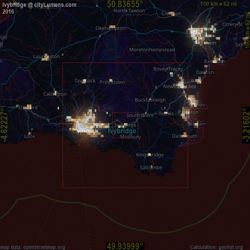
Analysis of Ivybridge night lights 2016
Square area 10x10 km:
 0%
0%90-99
0.56%80-89
0.28%70-79
0.28%60-69
0.98%50-59
0.7%40-49
0%30-39
0.56%20-29
0%10-19
0.56%0-9
96.08%Square area 50x50 km:
0.67%90-99
1.02%80-89
0.59%70-79
0.58%60-69
0.73%50-59
0.82%40-49
0.68%30-39
0.51%20-29
1.31%10-19
3.97%0-9
89.11%Clear (daylight) street map image can be seen on geolist.org.
Map coordinates:
50° 50' 11.6" North, 4° 37' 20.2" West
50° 23' 25.4" North, 3° 55' 8.9" West
49° 56' 24" North, 3° 12' 57.7" West
Some cities around Ivybridge sort by population:
• Plymouth
16 km =9.9 mi,  262°
262°
• Plymstock
12.6 km =7.8 mi,  254°
254°
• Saltash
21.8 km =13.5 mi,  275°
275°
• Tavistock
23.8 km =14.8 mi,  317°
317°
• Plympton
10 km =6.2 mi,  270°
270°
• Totnes
17.2 km =10.7 mi,  74°
74°
• Torpoint
19.7 km =12.2 mi, 265°
• Kingsbridge
15.5 km =9.6 mi,  139°
139°
2645988 (p: 11,851)
Sources (retrieved 2019-11-25):
» Earth at Night: Flat Maps 2012, 2016