Callington night lights from space
Night Light of Callington (England) from space (United Kingdom) Src. Average luminocity for 10x10km area is 1.8361% and for 50x50km: 4.3944%.
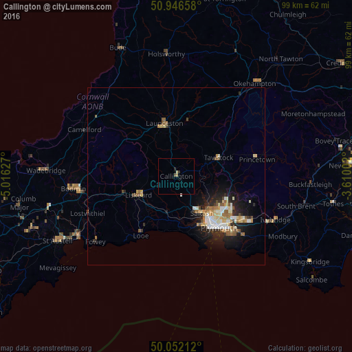
Analysis of Callington night lights 2016
Square area 10x10 km:
 0%
0%90-99
0.28%80-89
0.28%70-79
0.42%60-69
0.14%50-59
0%40-49
0.56%30-39
0.56%20-29
0.56%10-19
0%0-9
97.2%Square area 50x50 km:
0.55%90-99
0.87%80-89
0.57%70-79
0.55%60-69
0.59%50-59
0.63%40-49
0.46%30-39
0.38%20-29
1.27%10-19
2.87%0-9
91.26%Clear (daylight) street map image can be seen on geolist.org.
Map coordinates:
50° 56' 47.7" North, 5° 0' 58.6" West
50° 30' 5.3" North, 4° 18' 47.3" West
50° 3' 7.6" North, 3° 36' 36.1" West
Some cities around Callington sort by population:
• Plymouth
18.8 km =11.7 mi,  140°
140°
• Saltash
12 km =7.5 mi,  148°
148°
• Tavistock
13.1 km =8.1 mi,  65°
65°
• Liskeard
12 km =7.5 mi,  244°
244°
• Launceston
15.4 km =9.6 mi,  347°
347°
• Plympton
21.7 km =13.5 mi,  124°
124°
• Torpoint
16.3 km =10.1 mi, 149°
• Looe
18.8 km =11.7 mi,  212°
212°
2653981 (p: 5,786)
Sources (retrieved 2019-11-25):
» Earth at Night: Flat Maps 2012, 2016