Plymstock night lights from space
Night Light of Plymstock (England) from space (United Kingdom) Src. Average luminocity for 10x10km area is 41.5966% and for 50x50km: 4.2592%.
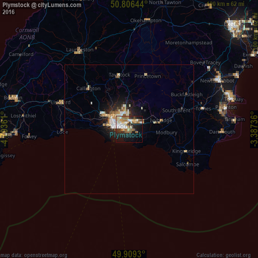
Analysis of Plymstock night lights 2016
Square area 10x10 km:
 5.88%
5.88%90-99
9.8%80-89
6.3%70-79
4.34%60-69
7.98%50-59
6.02%40-49
2.24%30-39
3.5%20-29
11.62%10-19
23.39%0-9
18.91%Square area 50x50 km:
0.56%90-99
0.91%80-89
0.56%70-79
0.52%60-69
0.56%50-59
0.55%40-49
0.37%30-39
0.34%20-29
1.26%10-19
2.92%0-9
91.46%Clear (daylight) street map image can be seen on geolist.org.
Map coordinates:
50° 48' 23.2" North, 4° 47' 37" West
50° 21' 36" North, 4° 5' 25.8" West
49° 54' 33.5" North, 3° 23' 14.5" West
Some cities around Plymstock sort by population:
• Plymouth
3.9 km =2.4 mi,  288°
288°
• Saltash
11 km =6.8 mi,  300°
300°
• Tavistock
21.4 km =13.3 mi,  349°
349°
• Ivybridge
12.6 km =7.8 mi,  74°
74°
• Plympton
4 km =2.5 mi,  32°
32°
• Torpoint
7.6 km =4.7 mi,  282°
282°
• Kingsbridge
23.8 km =14.8 mi,  110°
110°
• Callington
22.3 km =13.9 mi,  314°
314°
2640190 (p: 24,103)
Sources (retrieved 2019-11-25):
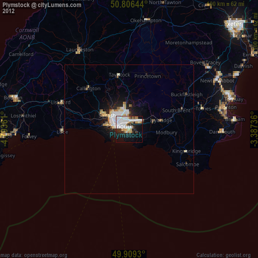
» Earth at Night: Flat Maps 2012, 2016