Christchurch night lights from space
Night Light of Christchurch (England) from space (United Kingdom) Src. Average luminocity for 10x10km area is 26.2045% and for 50x50km: 7.7163%.
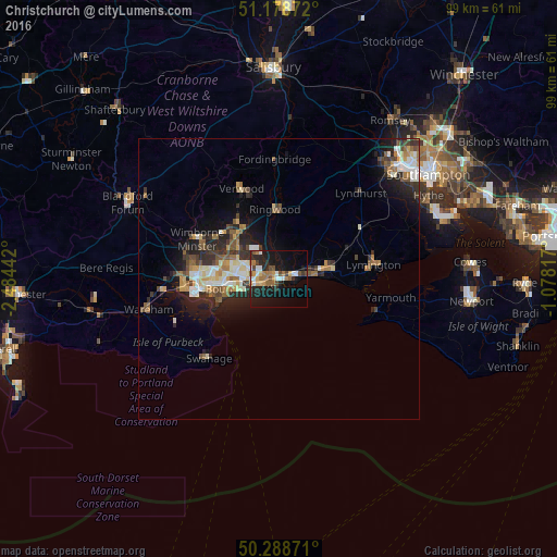

Analysis of Christchurch night lights 2016
Square area 10x10 km:
 2.67%
2.67%90-99
4.28%80-89
1.74%70-79
3.34%60-69
6.02%50-59
3.07%40-49
3.74%30-39
1.6%20-29
10.03%10-19
24.6%0-9
38.9%Square area 50x50 km:
0.87%90-99
1.43%80-89
0.73%70-79
0.89%60-69
1.2%50-59
1.05%40-49
1.14%30-39
1.25%20-29
2.68%10-19
4.76%0-9
84%Clear (daylight) street map image can be seen on geolist.org.
Map coordinates:
51° 10' 43.4" North, 2° 29' 3.9" West
50° 44' 9" North, 1° 46' 52.6" West
50° 17' 19.4" North, 1° 4' 41.4" West
Some cities around Christchurch sort by population:
• Bournemouth
7.1 km =4.4 mi,  256°
256°
• Poole
14.5 km =9 mi, 260°
• New Milton
8.4 km =5.2 mi,  74°
74°
• Ferndown
11.5 km =7.1 mi,  313°
313°
• Canford Heath
13.3 km =8.3 mi,  277°
277°
• Ringwood
12.2 km =7.6 mi,  357°
357°
• Parkstone
11.5 km =7.1 mi,  266°
266°
• St Leonards
11.4 km =7.1 mi,  337°
337°
2653075 (p: 42,396)
Sources (retrieved 2019-11-25):
» Earth at Night: Flat Maps 2012, 2016