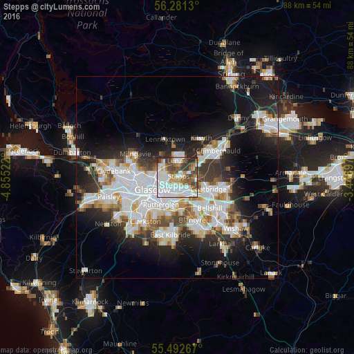
Stepps night lights from space
Night Light of Stepps (Scotland) from space (United Kingdom) Src. Average luminocity for 10x10km area is 76.0551% and for 50x50km: 30.2946%.
Analysis of Stepps night lights 2016
Square area 10x10 km:
 23.43%
90-99
25.56%80-89
5.26%70-79
6.52%60-69
7.39%50-59
10.15%40-49
9.77%30-39
7.52%20-29
4.39%10-19
0%0-9
0%Square area 50x50 km:
8.37%90-99
7.67%80-89
2.08%70-79
2.78%60-69
3.09%50-59
2.66%40-49
3.11%30-39
3.9%20-29
6.88%10-19
14.05%0-9
45.42%Clear (daylight) street map image can be seen on geolist.org.
Map coordinates:
56° 16' 52.7" North, 4° 51' 18.8" West
55° 53' 20.4" North, 4° 9' 7.6" West
55° 29' 33.6" North, 3° 26' 56.3" West
Some cities around Stepps sort by population:
• Glasgow
7.1 km =4.4 mi,  248°
248°
• Coatbridge
8.5 km =5.3 mi,  110°
110°
• Rutherglen
7.7 km =4.8 mi,  209°
209°
• Bishopbriggs
4.6 km =2.9 mi,  295°
295°
• Kirkintilloch
5.6 km =3.5 mi,  359°
359°
• Lenzie
4.3 km =2.7 mi, 358°
• Moodiesburn
5.2 km =3.2 mi,  55°
55°
• Uddingston
8.8 km =5.5 mi,  150°
150°
2636945 (p: 6,730)
Sources (retrieved 2019-11-25):
» Earth at Night: Flat Maps 2012, 2016