Kirkintilloch night lights from space
Night Light of Kirkintilloch (Scotland) from space (United Kingdom) Src. Average luminocity for 10x10km area is 45.2093% and for 50x50km: 30.9369%.
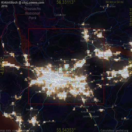
Analysis of Kirkintilloch night lights 2016
Square area 10x10 km:
 7.27%
7.27%90-99
10.78%80-89
2.38%70-79
3.13%60-69
7.02%50-59
6.77%40-49
8.52%30-39
10.53%20-29
17.29%10-19
21.8%0-9
4.51%Square area 50x50 km:
8.5%90-99
7.9%80-89
2.16%70-79
2.93%60-69
3.15%50-59
2.72%40-49
3.17%30-39
3.91%20-29
6.95%10-19
15.07%0-9
43.55%Clear (daylight) street map image can be seen on geolist.org.
Map coordinates:
56° 19' 52.1" North, 4° 51' 20.7" West
55° 56' 21.6" North, 4° 9' 9.4" West
55° 32' 36.7" North, 3° 26' 58.2" West
Some cities around Kirkintilloch sort by population:
• Glasgow
10.5 km =6.5 mi,  218°
218°
• Cumbernauld
10.1 km =6.3 mi,  85°
85°
• Bishopbriggs
5.5 km =3.4 mi,  228°
228°
• Milngavie
10.6 km =6.6 mi,  270°
270°
• Kilsyth
7.1 km =4.4 mi,  55°
55°
• Lenzie
1.3 km =0.8 mi,  183°
183°
• Moodiesburn
5.1 km =3.2 mi,  122°
122°
• Stepps
5.6 km =3.5 mi, 179°
2645261 (p: 19,630)
Sources (retrieved 2019-11-25):
» Earth at Night: Flat Maps 2012, 2016