Stanley night lights from space
Night Light of Stanley (England) from space (United Kingdom) Src. Average luminocity for 10x10km area is 17.4222% and for 50x50km: 24.2235%.
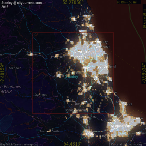
Analysis of Stanley night lights 2016
Square area 10x10 km:
 0.36%
0.36%90-99
0.12%80-89
0%70-79
0.84%60-69
2.15%50-59
4.43%40-49
4.43%30-39
7.06%20-29
9.69%10-19
24.88%0-9
46.05%Square area 50x50 km:
7.3%90-99
5.2%80-89
1.84%70-79
1.96%60-69
2.27%50-59
2.3%40-49
2.29%30-39
4.21%20-29
5.86%10-19
10.13%0-9
56.65%Clear (daylight) street map image can be seen on geolist.org.
Map coordinates:
55° 16' 14" North, 2° 24' 5.7" West
54° 52' 4.7" North, 1° 41' 54.5" West
54° 27' 40.7" North, 0° 59' 43.2" West
Some cities around Stanley sort by population:
• Chester-le-Street
8 km =5 mi,  97°
97°
• Consett
8.7 km =5.4 mi,  259°
259°
• Whickham
8.7 km =5.4 mi,  9°
9°
• Annfield Plain
2.8 km =1.7 mi,  245°
245°
• Ushaw Moor
10.5 km =6.5 mi,  161°
161°
• Sacriston
7.3 km =4.5 mi,  139°
139°
• Rowlands Gill
6.4 km =4 mi,  332°
332°
• Pelton
5.7 km =3.5 mi,  84°
84°
8224783 (p: 21,938)
Sources (retrieved 2019-11-25):
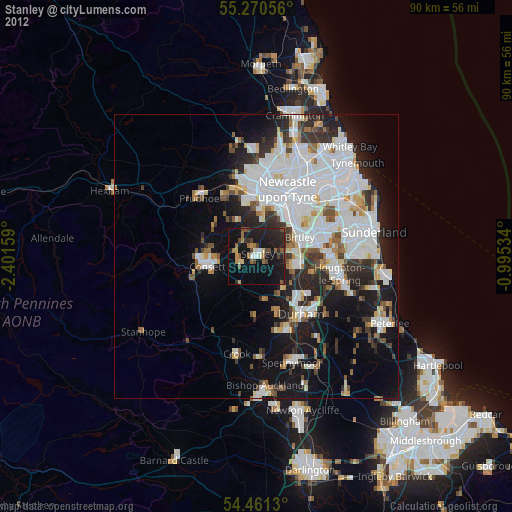
» Earth at Night: Flat Maps 2012, 2016