Consett night lights from space
Night Light of Consett (England) from space (United Kingdom) Src. Average luminocity for 10x10km area is 11.3349% and for 50x50km: 18.9576%.
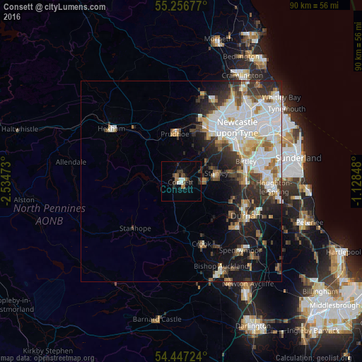
Analysis of Consett night lights 2016
Square area 10x10 km:
 1.08%
1.08%90-99
1.79%80-89
0%70-79
0%60-69
2.87%50-59
1.56%40-49
1.79%30-39
3.95%20-29
2.15%10-19
1.08%0-9
83.73%Square area 50x50 km:
5.62%90-99
4.3%80-89
1.59%70-79
1.53%60-69
1.88%50-59
1.8%40-49
1.85%30-39
3.28%20-29
3.63%10-19
7%0-9
67.52%Clear (daylight) street map image can be seen on geolist.org.
Map coordinates:
55° 15' 24.4" North, 2° 32' 5" West
54° 51' 14.5" North, 1° 49' 53.8" West
54° 26' 50.1" North, 1° 7' 42.5" West
Some cities around Consett sort by population:
• Stanley
8.7 km =5.4 mi,  79°
79°
• Whickham
14.2 km =8.8 mi,  44°
44°
• Blaydon-on-Tyne
14.4 km =8.9 mi,  31°
31°
• Prudhoe
12 km =7.5 mi,  353°
353°
• Annfield Plain
6 km =3.7 mi,  86°
86°
• Sacriston
13.9 km =8.6 mi,  106°
106°
• Rowlands Gill
9.1 km =5.7 mi, 37°
• Pelton
14.4 km =8.9 mi, 81°
2652437 (p: 29,137)
Sources (retrieved 2019-11-25):
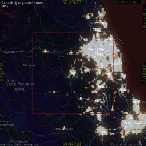
» Earth at Night: Flat Maps 2012, 2016