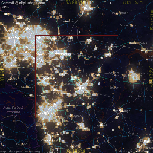
Carcroft night lights from space
Night Light of Carcroft (England) from space (United Kingdom) Src. Average luminocity for 10x10km area is 32.9596% and for 50x50km: 32.2939%.
Analysis of Carcroft night lights 2016
Square area 10x10 km:
 3.41%
3.41%90-99
6.19%80-89
2.15%70-79
3.66%60-69
3.66%50-59
3.28%40-49
5.81%30-39
7.32%20-29
15.78%10-19
38.01%0-9
10.73%Square area 50x50 km:
7.3%90-99
6.81%80-89
3.13%70-79
3.21%60-69
2.96%50-59
3.61%40-49
4.1%30-39
6.38%20-29
10.2%10-19
12.92%0-9
39.39%Clear (daylight) street map image can be seen on geolist.org.
Map coordinates:
53° 59' 53.4" North, 1° 52' 46.6" West
53° 34' 58.2" North, 1° 10' 35.3" West
53° 9' 48" North, 0° 28' 24.1" West
Some cities around Carcroft sort by population:
• Doncaster
7.3 km =4.5 mi,  155°
155°
• Bentley
5.8 km =3.6 mi, 162°
• Adwick le Street
1.4 km =0.9 mi,  201°
201°
• South Elmsall
7 km =4.3 mi,  283°
283°
• Kirk Sandall
7.5 km =4.7 mi,  107°
107°
• Stainforth
9.6 km =6 mi,  78°
78°
• Upton
8.1 km =5 mi,  295°
295°
• Askern
4.1 km =2.5 mi,  23°
23°
2653825 (p: 8,584)
Sources (retrieved 2019-11-25):
» Earth at Night: Flat Maps 2012, 2016