Sheringham night lights from space
Night Light of Sheringham (England) from space (United Kingdom) Src. Average luminocity for 10x10km area is 0.7751% and for 50x50km: 0.6175%.
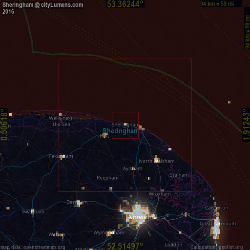
Analysis of Sheringham night lights 2016
Square area 10x10 km:
 0%
0%90-99
0%80-89
0%70-79
0%60-69
0.53%50-59
0%40-49
0.53%30-39
0%20-29
0.26%10-19
0.26%0-9
98.41%Square area 50x50 km:
0.05%90-99
0.05%80-89
0.1%70-79
0.07%60-69
0.14%50-59
0.13%40-49
0.17%30-39
0.06%20-29
0.07%10-19
0.16%0-9
99%Clear (daylight) street map image can be seen on geolist.org.
Map coordinates:
53° 21' 44.8" North, 0° 30' 22.2" East
52° 56' 26.8" North, 1° 12' 33.5" East
52° 30' 53.9" North, 1° 54' 44.7" East
Some cities around Sheringham sort by population:
• Norwich
35.3 km =21.9 mi,  170°
170°
• East Dereham
34.1 km =21.2 mi,  212°
212°
• Bowthorpe
33.6 km =20.9 mi,  178°
178°
• North Walsham
17.9 km =11.1 mi,  138°
138°
• Cromer
6.1 km =3.8 mi,  100°
100°
• Fakenham
27.2 km =16.9 mi,  243°
243°
• Thorpe Hamlet
35.5 km =22.1 mi, 168°
• Aylsham
16.3 km =10.1 mi, 170°
2638019 (p: 8,090)
Sources (retrieved 2019-11-25):
» Earth at Night: Flat Maps 2012, 2016