East Dereham night lights from space
Night Light of East Dereham (England) from space (United Kingdom) Src. Average luminocity for 10x10km area is 4.4762% and for 50x50km: 2.9564%.
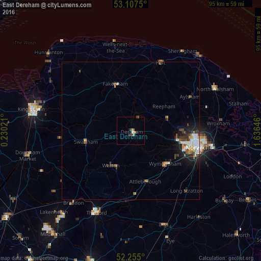
Analysis of East Dereham night lights 2016
Square area 10x10 km:
 0.66%
0.66%90-99
0.93%80-89
0%70-79
0.66%60-69
1.19%50-59
0%40-49
0.79%30-39
1.06%20-29
0.53%10-19
0.53%0-9
93.65%Square area 50x50 km:
0.55%90-99
0.53%80-89
0.23%70-79
0.35%60-69
0.24%50-59
0.43%40-49
0.5%30-39
0.48%20-29
0.78%10-19
1.7%0-9
94.21%Clear (daylight) street map image can be seen on geolist.org.
Map coordinates:
53° 6' 27" North, 0° 13' 48.8" East
52° 40' 60" North, 0° 55' 60" East
52° 15' 18" North, 1° 38' 11.3" East
Some cities around East Dereham sort by population:
• Norwich
25.4 km =15.8 mi,  104°
104°
• Bowthorpe
19.9 km =12.4 mi, 104°
• Attleborough
19.2 km =11.9 mi,  163°
163°
• Watton
14.6 km =9.1 mi,  207°
207°
• Fakenham
17.3 km =10.7 mi,  340°
340°
• Swaffham
17.2 km =10.7 mi,  256°
256°
• Aylsham
24.8 km =15.4 mi,  59°
59°
• Hethersett
18.8 km =11.7 mi,  120°
120°
2650470 (p: 20,651)
Sources (retrieved 2019-11-25):
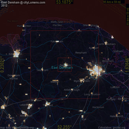
» Earth at Night: Flat Maps 2012, 2016