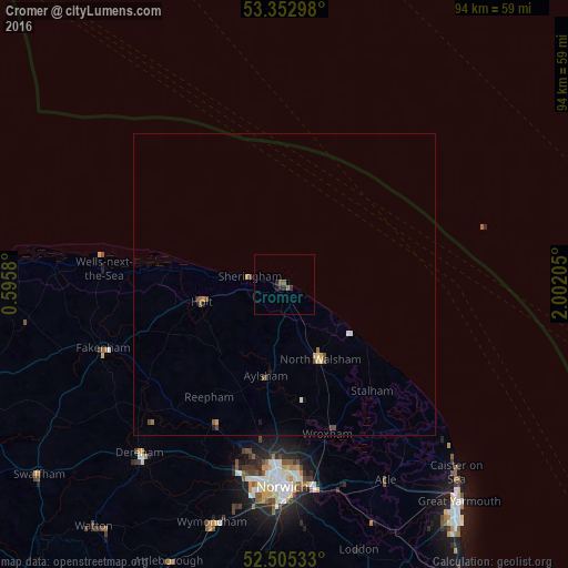
Cromer night lights from space
Night Light of Cromer (England) from space (United Kingdom) Src. Average luminocity for 10x10km area is 1.7672% and for 50x50km: 0.5367%.
Analysis of Cromer night lights 2016
Square area 10x10 km:
 0%
0%90-99
0%80-89
0%70-79
0%60-69
0.79%50-59
0.79%40-49
0%30-39
0.4%20-29
1.72%10-19
0.53%0-9
95.77%Square area 50x50 km:
0.03%90-99
0.05%80-89
0.07%70-79
0.06%60-69
0.11%50-59
0.1%40-49
0.2%30-39
0.04%20-29
0.08%10-19
0.12%0-9
99.15%Clear (daylight) street map image can be seen on geolist.org.
Map coordinates:
53° 21' 10.7" North, 0° 35' 44.9" East
52° 55' 52.4" North, 1° 17' 56.1" East
52° 30' 19.2" North, 2° 0' 7.4" East
Some cities around Cromer sort by population:
• Norwich
33.7 km =20.9 mi,  180°
180°
• Bowthorpe
33 km =20.5 mi,  189°
189°
• North Walsham
13.6 km =8.5 mi,  154°
154°
• Fakenham
32.3 km =20.1 mi,  249°
249°
• Thorpe Hamlet
33.8 km =21 mi, 178°
• Sheringham
6.1 km =3.8 mi,  280°
280°
• Aylsham
15.3 km =9.5 mi, 192°
• Brundall
35.3 km =21.9 mi,  164°
164°
2651930 (p: 8,801)
Sources (retrieved 2019-11-25):
» Earth at Night: Flat Maps 2012, 2016