Norwich night lights from space
Night Light of Norwich (England) from space (United Kingdom) Src. Average luminocity for 10x10km area is 55.5794% and for 50x50km: 4.1578%.
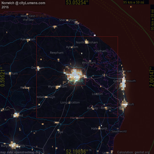
Analysis of Norwich night lights 2016
Square area 10x10 km:
 13.62%
90-99
15.34%80-89
7.54%70-79
5.82%60-69
3.17%50-59
6.61%40-49
6.88%30-39
3.84%20-29
15.21%10-19
17.46%0-9
4.5%Square area 50x50 km:
0.66%90-99
0.76%80-89
0.39%70-79
0.44%60-69
0.33%50-59
0.53%40-49
0.76%30-39
0.57%20-29
1.23%10-19
2.84%0-9
91.49%Clear (daylight) street map image can be seen on geolist.org.
Map coordinates:
53° 3' 9.1" North, 0° 35' 42.8" East
52° 37' 40.2" North, 1° 17' 54" East
52° 11' 56.3" North, 2° 0' 5.3" East
Some cities around Norwich sort by population:
• Bowthorpe
5.5 km =3.4 mi,  282°
282°
• North Walsham
22.3 km =13.9 mi,  15°
15°
• Thorpe Hamlet
0.9 km =0.6 mi,  90°
90°
• Aylsham
19 km =11.8 mi,  350°
350°
• Brundall
9.2 km =5.7 mi, 92°
• Hethersett
9.1 km =5.7 mi,  248°
248°
• Poringland
7.5 km =4.7 mi,  152°
152°
• Bungay
21.5 km =13.4 mi, 153°
2641181 (p: 213,166)
Sources (retrieved 2019-11-25):
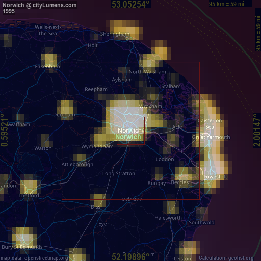
» NASA, Earths city lights 1995
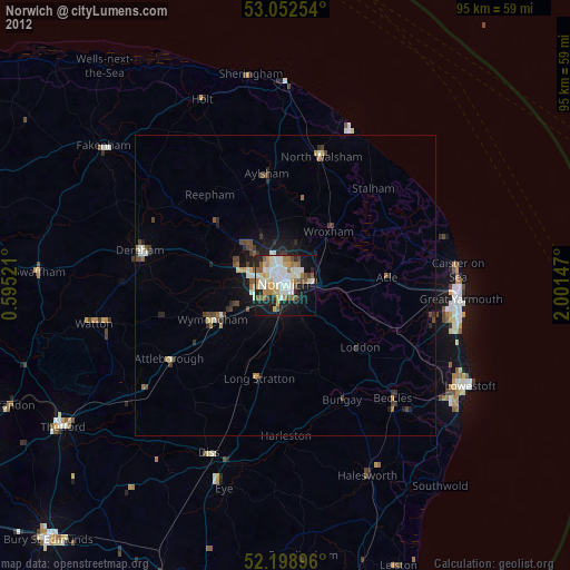
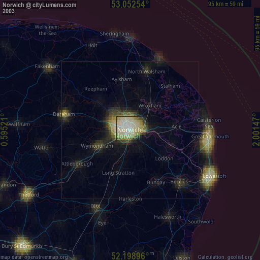
» NASA city lights 2003
» Earth at Night: Flat Maps 2012, 2016