Grantham night lights from space
Night Light of Grantham (England) from space (United Kingdom) Src. Average luminocity for 10x10km area is 17.4735% and for 50x50km: 3.8559%.
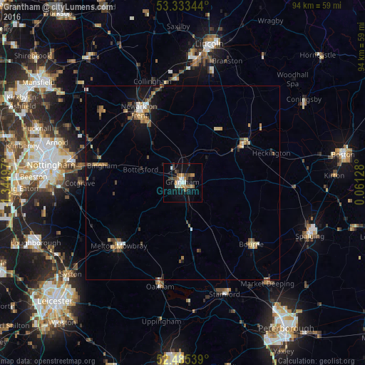
Analysis of Grantham night lights 2016
Square area 10x10 km:
 1.26%
1.26%90-99
3.79%80-89
0.63%70-79
3.16%60-69
2.78%50-59
1.64%40-49
3.41%30-39
2.65%20-29
1.64%10-19
13.13%0-9
65.91%Square area 50x50 km:
0.3%90-99
0.42%80-89
0.41%70-79
0.65%60-69
0.5%50-59
0.64%40-49
0.75%30-39
0.4%20-29
0.5%10-19
2.27%0-9
93.15%Clear (daylight) street map image can be seen on geolist.org.
Map coordinates:
53° 20' 0.4" North, 1° 20' 41.9" West
52° 54' 41.4" North, 0° 38' 30.6" West
52° 29' 7.4" North, 0° 3' 40.6" East
Some cities around Grantham sort by population:
• Newark on Trent
20.8 km =12.9 mi,  325°
325°
• Melton Mowbray
23.1 km =14.4 mi,  225°
225°
• Sleaford
18.3 km =11.4 mi,  58°
58°
• Bourne
23.7 km =14.7 mi,  132°
132°
• Bingham
21.7 km =13.5 mi,  281°
281°
• Cotgrave
26.5 km =16.5 mi,  269°
269°
• Great Gonerby
3.1 km =1.9 mi, 327°
• Ruskington
22.7 km =14.1 mi,  48°
48°
2648208 (p: 43,833)
Sources (retrieved 2019-11-25):
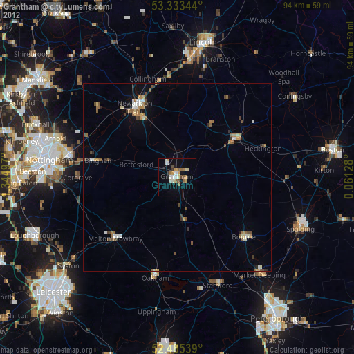
» Earth at Night: Flat Maps 2012, 2016