Rottingdean night lights from space
Night Light of Rottingdean (England) from space (United Kingdom) Src. Average luminocity for 10x10km area is 22.444% and for 50x50km: 6.9569%.
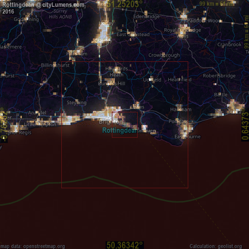
Analysis of Rottingdean night lights 2016
Square area 10x10 km:
 3.78%
3.78%90-99
3.64%80-89
0.14%70-79
1.82%60-69
2.24%50-59
3.08%40-49
5.04%30-39
6.16%20-29
6.72%10-19
16.95%0-9
50.42%Square area 50x50 km:
0.72%90-99
0.98%80-89
0.64%70-79
0.86%60-69
0.87%50-59
1.03%40-49
1.1%30-39
1.1%20-29
1.77%10-19
6.03%0-9
84.91%Clear (daylight) street map image can be seen on geolist.org.
Map coordinates:
51° 15' 7.3" North, 0° 45' 45.1" West
50° 48' 35.4" North, 0° 3' 33.8" West
50° 21' 48.3" North, 0° 38' 37.4" East
Some cities around Rottingdean sort by population:
• Brighton
6 km =3.7 mi,  290°
290°
• Hove
7.9 km =4.9 mi, 287°
• Seaford
12.2 km =7.6 mi,  110°
110°
• Portslade
11.6 km =7.2 mi, 288°
• Peacehaven
4.2 km =2.6 mi,  117°
117°
• Lewes
8.6 km =5.3 mi,  33°
33°
• Newhaven
8.2 km =5.1 mi,  100°
100°
• Hassocks
15.1 km =9.4 mi,  330°
330°
2639069 (p: 21,756)
Sources (retrieved 2019-11-25):
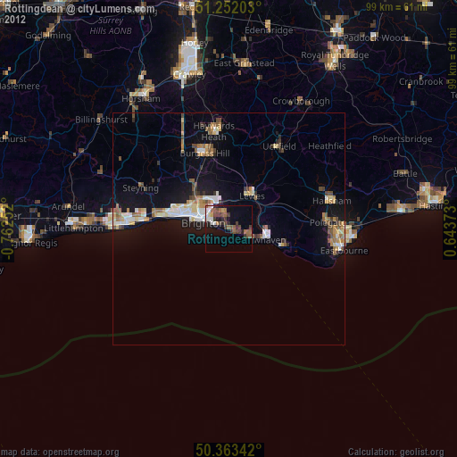
» Earth at Night: Flat Maps 2012, 2016