Raunds night lights from space
Night Light of Raunds (England) from space (United Kingdom) Src. Average luminocity for 10x10km area is 7.9646% and for 50x50km: 12.7413%.
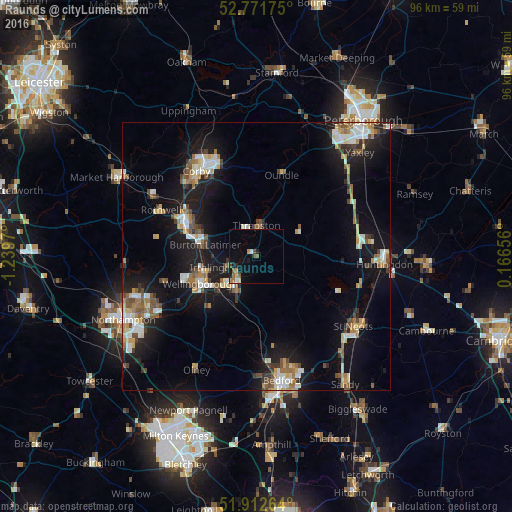
Analysis of Raunds night lights 2016
Square area 10x10 km:
 0.63%
0.63%90-99
0.38%80-89
0.51%70-79
1.14%60-69
1.89%50-59
1.52%40-49
1.52%30-39
0%20-29
1.01%10-19
4.17%0-9
87.25%Square area 50x50 km:
1.72%90-99
1.9%80-89
1.47%70-79
1.21%60-69
1.7%50-59
1.86%40-49
1.66%30-39
1.35%20-29
2.43%10-19
12.32%0-9
72.38%Clear (daylight) street map image can be seen on geolist.org.
Map coordinates:
52° 46' 18.3" North, 1° 14' 22.9" West
52° 20' 39.4" North, 0° 32' 11.7" West
51° 54' 45.5" North, 0° 9' 59.6" East
Some cities around Raunds sort by population:
• Kettering
14.2 km =8.8 mi,  295°
295°
• Wellingborough
11.7 km =7.3 mi,  246°
246°
• Rushden
7.6 km =4.7 mi,  215°
215°
• Irthlingborough
5.4 km =3.4 mi, 248°
• Thrapston
5.8 km =3.6 mi,  358°
358°
• Burton Latimer
9.9 km =6.2 mi,  282°
282°
• Higham Ferrers
5.8 km =3.6 mi, 222°
• Oundle
15.9 km =9.9 mi,  17°
17°
2639600 (p: 8,641)
Sources (retrieved 2019-11-25):
» Earth at Night: Flat Maps 2012, 2016