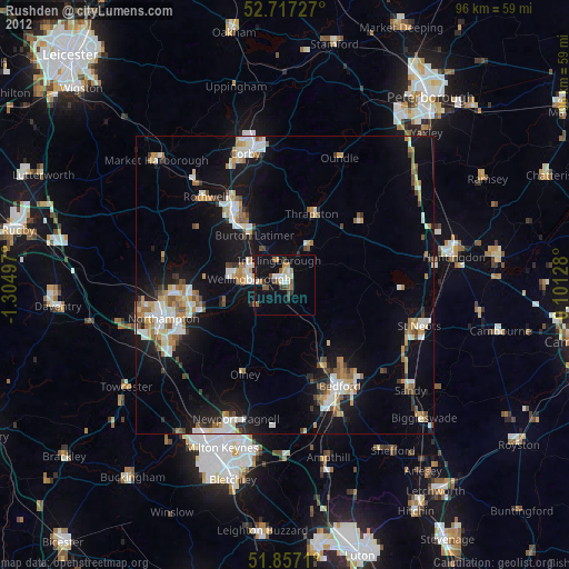
Rushden night lights from space
Night Light of Rushden (England) from space (United Kingdom) Src. Average luminocity for 10x10km area is 18.9217% and for 50x50km: 14.0603%.
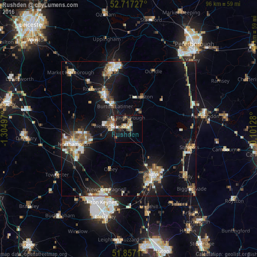
Analysis of Rushden night lights 2016
Square area 10x10 km:
 1.77%
1.77%90-99
1.52%80-89
2.15%70-79
1.64%60-69
3.16%50-59
4.55%40-49
2.02%30-39
3.41%20-29
2.02%10-19
25%0-9
52.78%Square area 50x50 km:
1.76%90-99
2.08%80-89
1.69%70-79
1.33%60-69
1.86%50-59
1.87%40-49
2.07%30-39
1.55%20-29
3.44%10-19
13.32%0-9
69.02%Clear (daylight) street map image can be seen on geolist.org.
Map coordinates:
52° 43' 2.2" North, 1° 18' 17.9" West
52° 17' 21.4" North, 0° 36' 6.6" West
51° 51' 25.6" North, 0° 6' 4.6" East
Some cities around Rushden sort by population:
• Kettering
14.8 km =9.2 mi,  325°
325°
• Wellingborough
6.5 km =4 mi,  283°
283°
• Raunds
7.6 km =4.7 mi,  35°
35°
• Irthlingborough
4.2 km =2.6 mi,  351°
351°
• Thrapston
12.7 km =7.9 mi,  19°
19°
• Burton Latimer
9.8 km =6.1 mi, 327°
• Higham Ferrers
1.9 km =1.2 mi, 17°
• Earls Barton
10.6 km =6.6 mi,  255°
255°
2638946 (p: 37,584)
Sources (retrieved 2019-11-25):
» Earth at Night: Flat Maps 2012, 2016