Kingsbridge night lights from space
Night Light of Kingsbridge (England) from space (United Kingdom) Src. Average luminocity for 10x10km area is 1.246% and for 50x50km: 3.4893%.
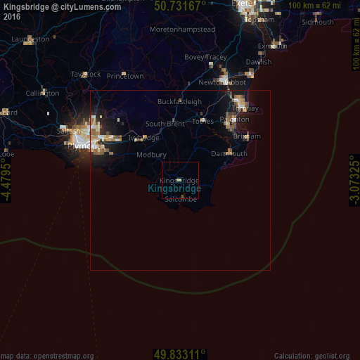
Analysis of Kingsbridge night lights 2016
Square area 10x10 km:
 0%
0%90-99
0%80-89
0.53%70-79
0.53%60-69
0%50-59
0.53%40-49
0%30-39
0%20-29
0%10-19
0%0-9
98.4%Square area 50x50 km:
0.34%90-99
0.52%80-89
0.35%70-79
0.41%60-69
0.56%50-59
0.73%40-49
0.51%30-39
0.36%20-29
0.69%10-19
2.91%0-9
92.63%Clear (daylight) street map image can be seen on geolist.org.
Map coordinates:
50° 43' 54" North, 4° 28' 46.2" West
50° 17' 4.2" North, 3° 46' 35" West
49° 49' 59.2" North, 3° 4' 23.7" West
Some cities around Kingsbridge sort by population:
• Paignton
22.4 km =13.9 mi,  41°
41°
• Plymstock
23.8 km =14.8 mi,  290°
290°
• Brixham
22.2 km =13.8 mi,  56°
56°
• Ivybridge
15.5 km =9.6 mi,  319°
319°
• Cockington
25.3 km =15.7 mi, 38°
• Plympton
23.4 km =14.5 mi,  300°
300°
• Totnes
17.6 km =10.9 mi,  21°
21°
• Dartmouth
15.9 km =9.9 mi, 61°
2645486 (p: 6,116)
Sources (retrieved 2019-11-25):
» Earth at Night: Flat Maps 2012, 2016