Brixham night lights from space
Night Light of Brixham (England) from space (United Kingdom) Src. Average luminocity for 10x10km area is 10.5658% and for 50x50km: 2.3889%.
Analysis of Brixham night lights 2016
Square area 10x10 km:
 0.84%
0.84%90-99
0.28%80-89
0.7%70-79
1.12%60-69
1.4%50-59
2.1%40-49
4.62%30-39
1.26%20-29
2.8%10-19
7.56%0-9
77.31%Square area 50x50 km:
0.2%90-99
0.26%80-89
0.18%70-79
0.23%60-69
0.28%50-59
0.54%40-49
0.58%30-39
0.32%20-29
0.32%10-19
2.11%0-9
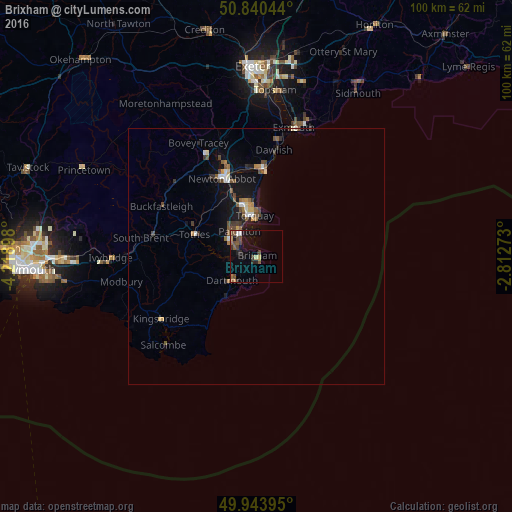
94.99%Clear (daylight) street map image can be seen on geolist.org.
Map coordinates:
50° 50' 25.6" North, 4° 13' 8.3" West
50° 23' 39.5" North, 3° 30' 57.1" West
49° 56' 38.2" North, 2° 48' 45.8" West
Some cities around Brixham sort by population:
• Torquay
7.6 km =4.7 mi,  354°
354°
• Paignton
5.9 km =3.7 mi,  321°
321°
• Newton Abbot
16.4 km =10.2 mi,  335°
335°
• Teignmouth
17.1 km =10.6 mi,  4°
4°
• Kingsteignton
18 km =11.2 mi, 344°
• Cockington
8.2 km =5.1 mi, 339°
• Totnes
12.6 km =7.8 mi,  288°
288°
• Dartmouth
6.5 km =4 mi,  223°
223°
2654663 (p: 16,693)
Sources (retrieved 2019-11-25):
» Earth at Night: Flat Maps 2012, 2016