Brundall night lights from space
Night Light of Brundall (England) from space (United Kingdom) Src. Average luminocity for 10x10km area is 4.6481% and for 50x50km: 5.9116%.
Analysis of Brundall night lights 2016
Square area 10x10 km:
 1.06%
1.06%90-99
0.53%80-89
0%70-79
0.26%60-69
0.53%50-59
0.26%40-49
0%30-39
0.79%20-29
1.85%10-19
4.63%0-9
90.08%Square area 50x50 km:
0.92%90-99
1.04%80-89
0.52%70-79
0.59%60-69
0.4%50-59
0.85%40-49
1.02%30-39
0.72%20-29
1.51%10-19
5.18%0-9
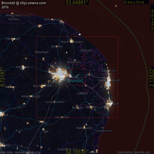
87.23%Clear (daylight) street map image can be seen on geolist.org.
Map coordinates:
53° 2' 56.4" North, 0° 43' 55.1" East
52° 37' 27.3" North, 1° 26' 6.3" East
52° 11' 43.3" North, 2° 8' 17.6" East
Some cities around Brundall sort by population:
• Norwich
9.2 km =5.7 mi,  272°
272°
• Bowthorpe
14.7 km =9.1 mi,  276°
276°
• Bradwell
18.7 km =11.6 mi,  107°
107°
• Thorpe Hamlet
8.3 km =5.2 mi, 272°
• Hemsby
19.1 km =11.9 mi,  64°
64°
• Hethersett
17.9 km =11.1 mi,  260°
260°
• Poringland
8.5 km =5.3 mi,  222°
222°
• Bungay
18.9 km =11.7 mi,  179°
179°
2654461 (p: 5,927)
Sources (retrieved 2019-11-25):
» Earth at Night: Flat Maps 2012, 2016