North Ferriby night lights from space
Night Light of North Ferriby (England) from space (United Kingdom) Src. Average luminocity for 10x10km area is 26.7361% and for 50x50km: 12.4253%.
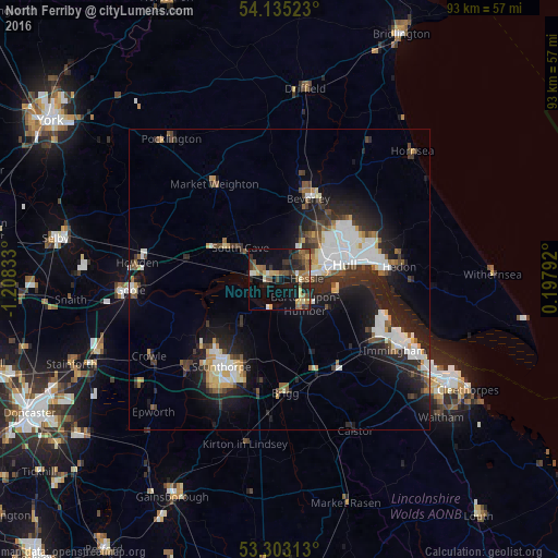
Analysis of North Ferriby night lights 2016
Square area 10x10 km:
 0.51%
0.51%90-99
3.03%80-89
3.91%70-79
2.4%60-69
5.18%50-59
7.2%40-49
4.55%30-39
6.19%20-29
6.82%10-19
20.83%0-9
39.39%Square area 50x50 km:
2.29%90-99
2.52%80-89
1%70-79
1.03%60-69
0.95%50-59
1.51%40-49
1.44%30-39
1.99%20-29
4.4%10-19
9.12%0-9
73.75%Clear (daylight) street map image can be seen on geolist.org.
Map coordinates:
54° 8' 6.8" North, 1° 12' 30" West
53° 43' 16.5" North, 0° 30' 18.7" West
53° 18' 11.3" North, 0° 11' 52.5" East
Some cities around North Ferriby sort by population:
• Kingston upon Hull
11.5 km =7.1 mi,  76°
76°
• Scunthorpe
18.6 km =11.6 mi,  211°
211°
• Beverley
14.9 km =9.3 mi,  21°
21°
• Brough
4.5 km =2.8 mi,  280°
280°
• Barton upon Humber
5.4 km =3.4 mi,  131°
131°
• Scalby
14.8 km =9.2 mi,  289°
289°
• Brigg
18.8 km =11.7 mi,  177°
177°
• Market Weighton
18.9 km =11.7 mi,  326°
326°
2641356 (p: 7,416)
Sources (retrieved 2019-11-25):
» Earth at Night: Flat Maps 2012, 2016