New Milton night lights from space
Night Light of New Milton (England) from space (United Kingdom) Src. Average luminocity for 10x10km area is 7.7754% and for 50x50km: 10.6504%.
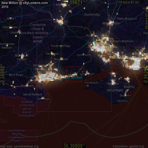
Analysis of New Milton night lights 2016
Square area 10x10 km:
 0.53%
0.53%90-99
0.53%80-89
0.53%70-79
0.8%60-69
2.41%50-59
0.4%40-49
1.2%30-39
2.27%20-29
1.47%10-19
2.14%0-9
87.7%Square area 50x50 km:
1.33%90-99
1.99%80-89
0.97%70-79
1.27%60-69
1.73%50-59
1.63%40-49
1.66%30-39
1.94%20-29
3.59%10-19
5.31%0-9
78.58%Clear (daylight) street map image can be seen on geolist.org.
Map coordinates:
51° 11' 55.4" North, 2° 22' 8.1" West
50° 45' 21.6" North, 1° 39' 56.9" West
50° 18' 32.7" North, 0° 57' 45.6" West
Some cities around New Milton sort by population:
• Bournemouth
15.5 km =9.6 mi,  255°
255°
• Christchurch
8.4 km =5.2 mi,  254°
254°
• Ferndown
17.4 km =10.8 mi,  289°
289°
• Lymington
8.5 km =5.3 mi,  88°
88°
• Ringwood
13.2 km =8.2 mi,  319°
319°
• Verwood
19.6 km =12.2 mi,  312°
312°
• Freshwater
12.7 km =7.9 mi,  129°
129°
• St Leonards
15 km =9.3 mi,  303°
303°
2641609 (p: 23,753)
Sources (retrieved 2019-11-25):
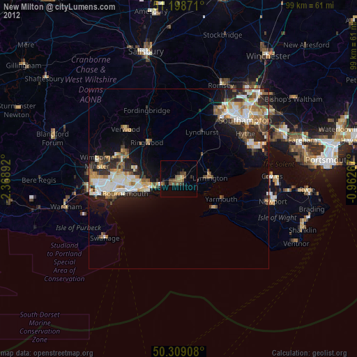
» Earth at Night: Flat Maps 2012, 2016