Nelson night lights from space
Night Light of Nelson (England) from space (United Kingdom) Src. Average luminocity for 10x10km area is 28.4101% and for 50x50km: 14.162%.
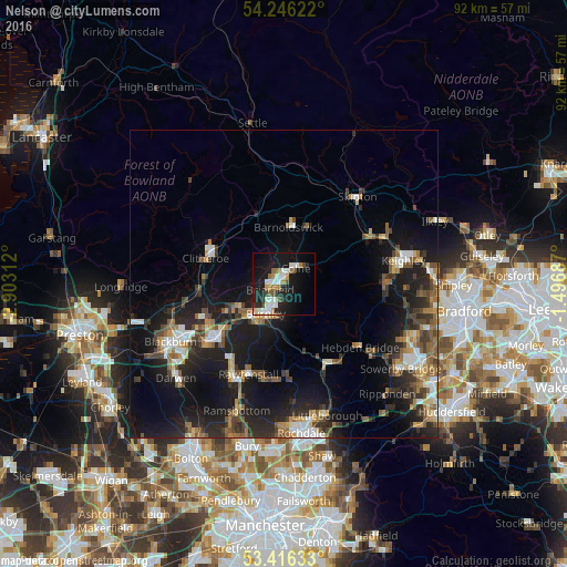
Analysis of Nelson night lights 2016
Square area 10x10 km:
 5.16%
5.16%90-99
7.54%80-89
1.06%70-79
3.31%60-69
4.76%50-59
1.46%40-49
1.98%30-39
1.72%20-29
7.28%10-19
31.22%0-9
34.52%Square area 50x50 km:
1.6%90-99
2.04%80-89
1.01%70-79
1.44%60-69
2.06%50-59
2.38%40-49
2.12%30-39
2.42%20-29
5%10-19
14.23%0-9
65.69%Clear (daylight) street map image can be seen on geolist.org.
Map coordinates:
54° 14' 46.4" North, 2° 54' 11.2" West
53° 49' 60" North, 2° 12' 0" West
53° 24' 58.8" North, 1° 29' 48.7" West
Some cities around Nelson sort by population:
• Burnley
4.3 km =2.7 mi,  210°
210°
• Accrington
13.7 km =8.5 mi,  229°
229°
• Colne
3.4 km =2.1 mi,  37°
37°
• Clitheroe
13.6 km =8.5 mi,  285°
285°
• Padiham
8.3 km =5.2 mi,  245°
245°
• Barnoldswick
9.4 km =5.8 mi,  5°
5°
• Brierfield
2.4 km =1.5 mi, 246°
• Barrowford
1.9 km =1.2 mi,  320°
320°
2641810 (p: 29,317)
Sources (retrieved 2019-11-25):
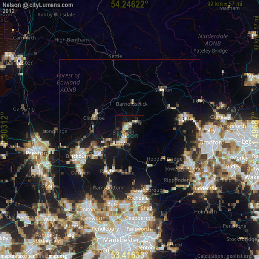
» Earth at Night: Flat Maps 2012, 2016